 |
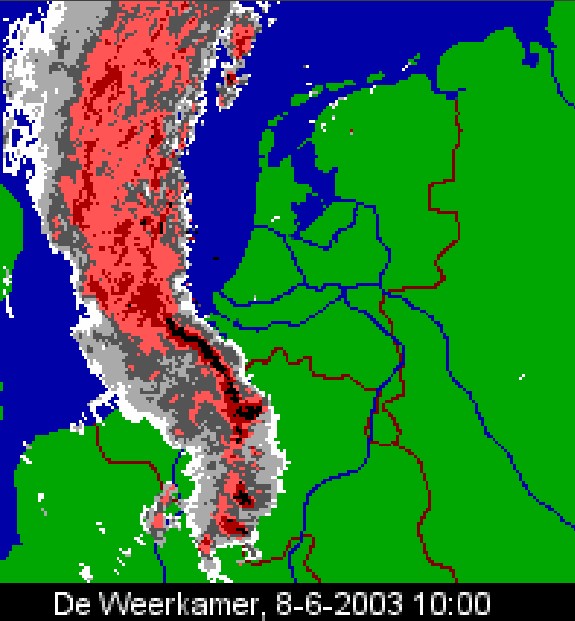
| Radar picture of 10:00 CET showing a bow echo over parts of
Belgium and Holland.
(Source: weerkamer).
|
 |
| Satellite picture of 08:46 CET showing a line of Cb
tops in the convergence zone. (Source: NOAA & Meteo-Strasbourg)
|
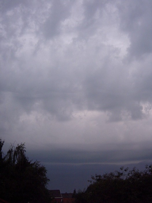 |
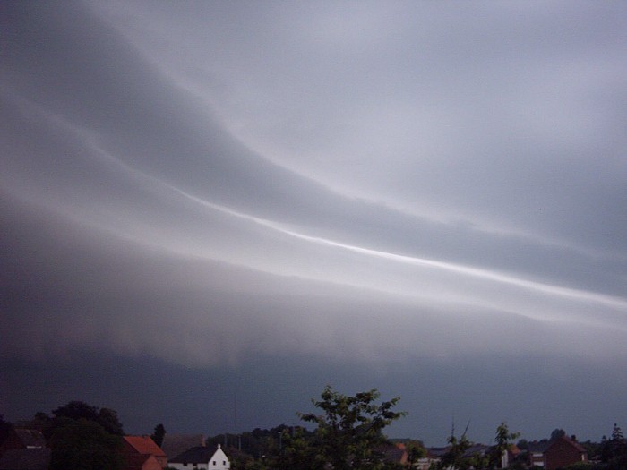
| 08/06/03 10:00 WNW. Near the horizon first appearance of a shelf
cloud with in front castellanus alike clouds.
|
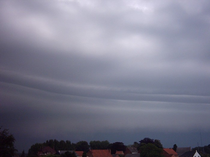 |
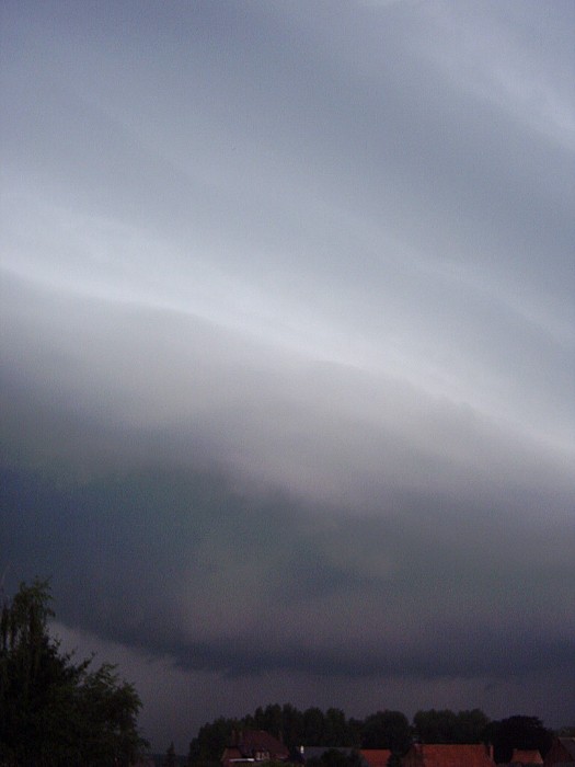
| 08/06/03 10:15 WNW. Shelf cloud becomes clearly visible with below
vaguely an arcus.
|
 |
| 08/06/03 10:16 NW. View a bit more northwards.
|
 |
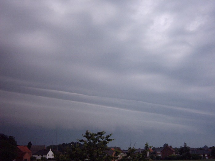
| 08/06/03 10:20 NW. Shelf cloud with arcus.
|
 |
| 08/06/03 10:21 WNW. There was lightning just behind the arcus.
|
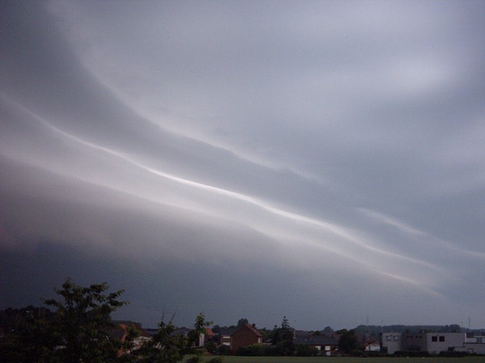 |
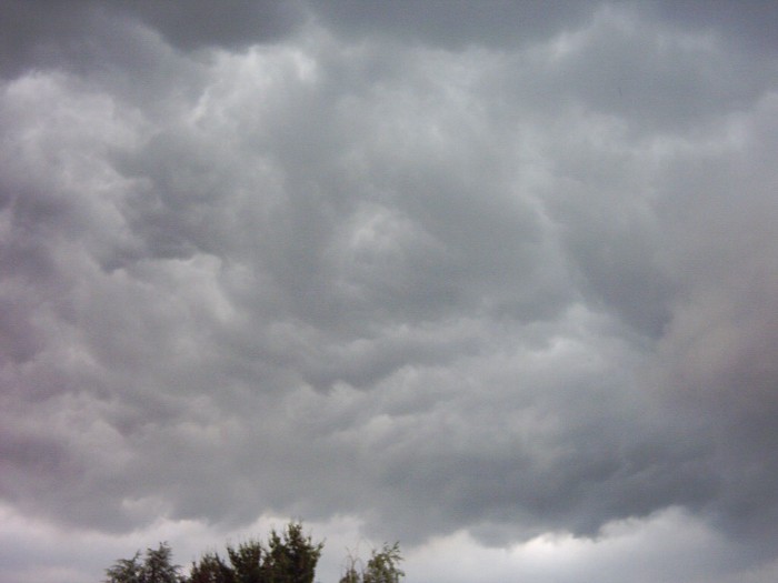
| 08/06/03 10:22 NNW. Quite impressive shelf cloud in length,
spread north-southwards.
|
 |
| 08/06/03 10:24 WNW. Behind the shelf cloud, a whale's mouth becomes
visible.
Winds began to pick-up, but without being violent.
|
 |
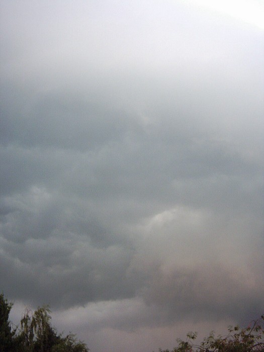
| 08/06/03 10:25 WNW. Worst to fear when looking inside the whale's
mouth, but things turned out to be quite modest. |