| Weather pictures & report of October 24 2003 |
| Trough line producing snow showers. |
| Synopsis: in a NW'ly unstable polar maritime flow, the air in low levels was just cold enough to produce dry flurries of snow. Snow indicators used in the forecasts of the previous day were quite promising, but the worrying thing was the timing of events. When the trough line was coming in too late (afternoon) air in the lowest levels was too warm for solid precipitation. Lucky it worked out perfect as the line entered the low parts of Belgium during the morning, this after an almost perfect clear radiation night. The sounding of Ukkel at 12UTC showed the freezing level around 600 ft (200 m) = 70% probability of dry snow. All pictures taken at Kampenhout in local time (CET). |
 |
|
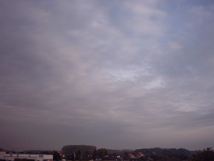
10:20 NNE. Increasing cloudiness from NW.
|
|
|
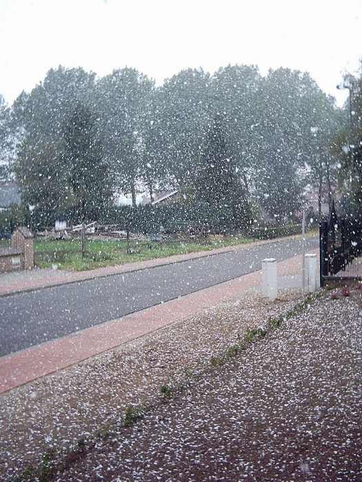
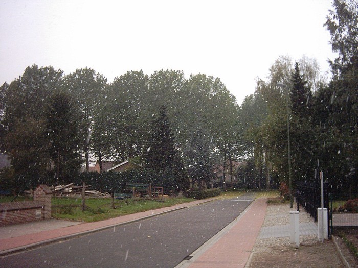
11:10. First flurries of snow, together with the leaves on the trees giving surrealistic images.
|
 |
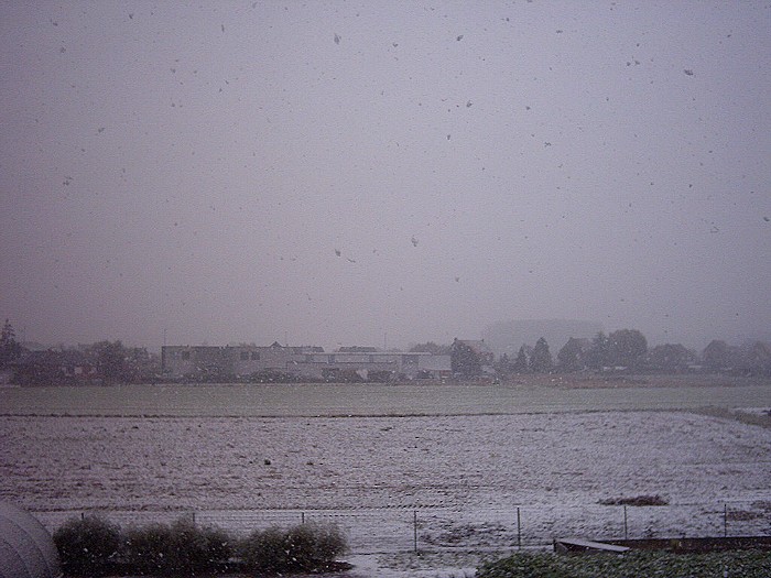
| 11:20. After a while moderate falls of snow came down.
|
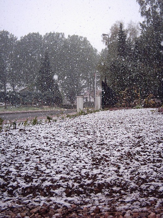 |
| 11:30. Even a thin cover of snow started to form with
temperatures barely above freezing level.
|
 |
| 11:50. Who has imagined this: a white landscape in
October and indeed a very early start of the winter season. After the one
hour duration of snowfall, it melted quickly away.
|
Back to winter reports 2003