 |
|
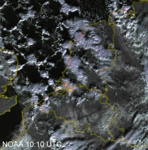
| Satellite picture of 11:10 CET revealing snow covered area's (white stripes) in
mid and southeastern parts of Belgium. In the north arrival of more wet snow showers. (Source: NOAA & University of Bern)
|
|
 |
|
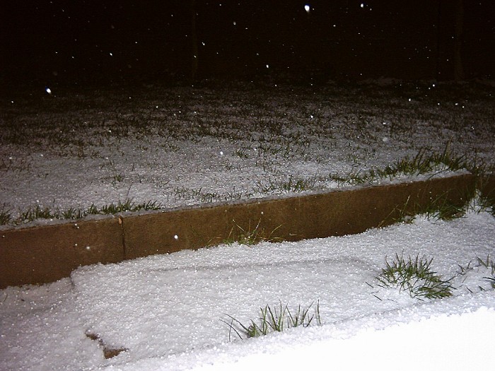
| 04:01. First real dry snowfall of the season producing a cover of 1cm.
|
|
 |
|
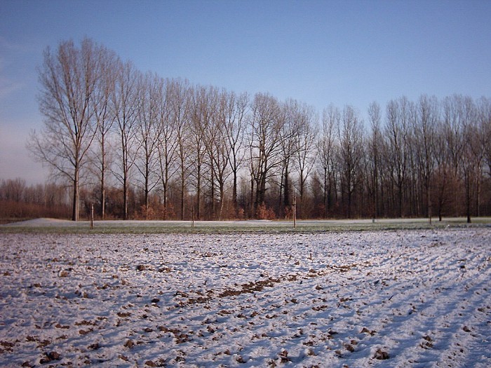
| 10:30. Thin cover of snow giving the first "sunny wintry pictures" of the
season.
|
|
 |
|
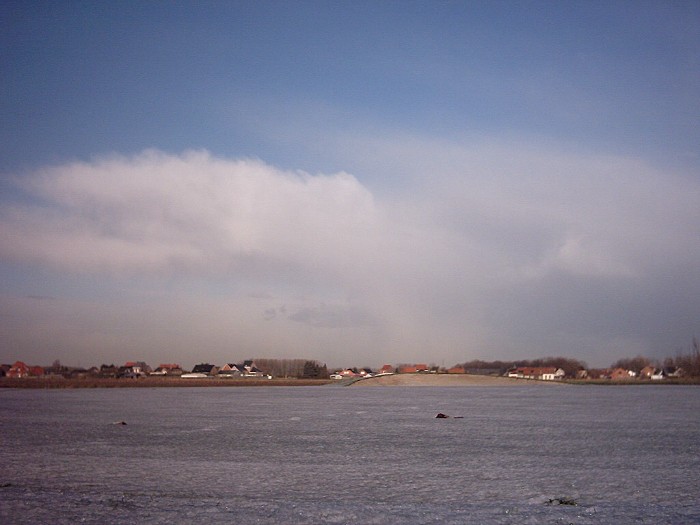
| 10:50 N. Arrival of more light showers of snow.
|
|
 |
|
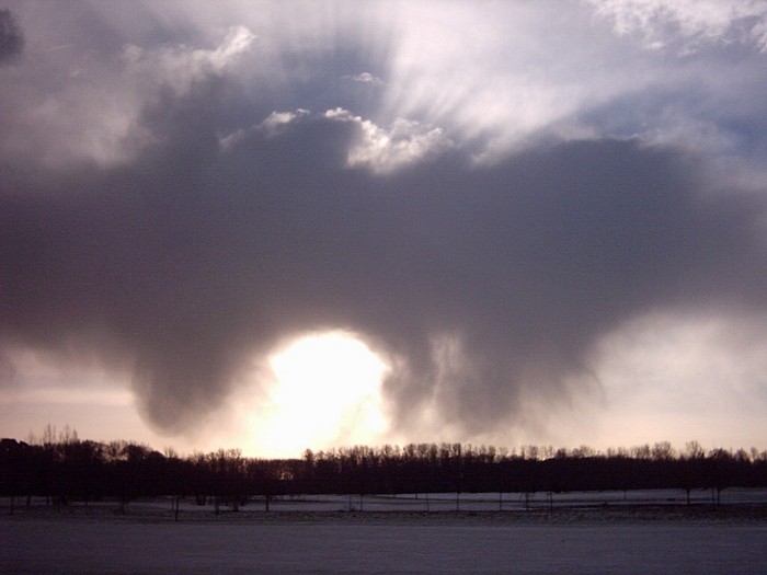
| 11:35 S. Virga of snow, sadly with little effect for any
accumulation.
|
|
 |
|
| 14:30 N. In the afternoon some dramatic black skies
showed up: Cb arc pra with a fresh load of wet snow.
|
|
 |
|
| 14:41 NNW. Not much later the first flurries came down,
sadly leaving no white cover.
|
|
 |
|
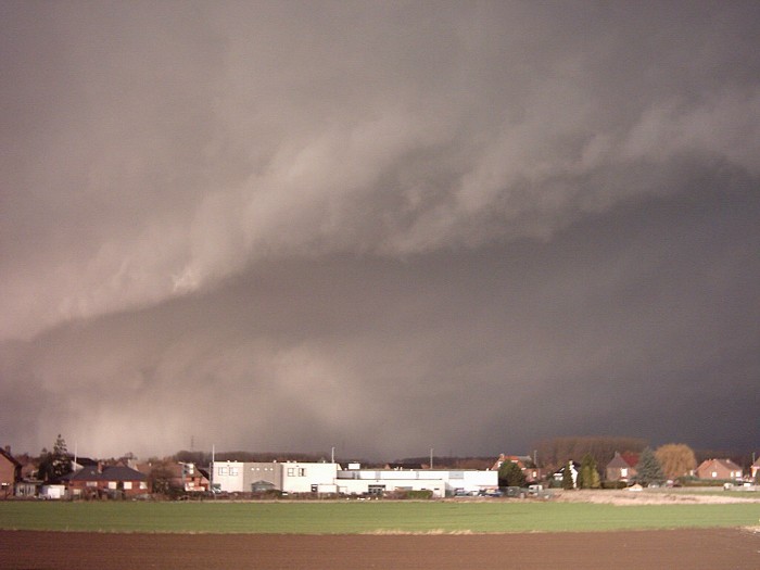
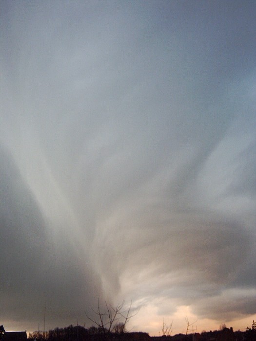
| 15:50 N. At the end of the day this showed
up: a beautiful shelf cloud.
|
|
 |
|
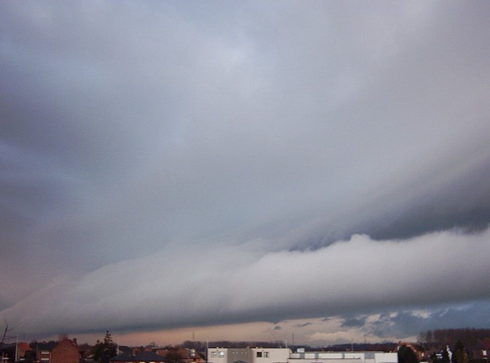
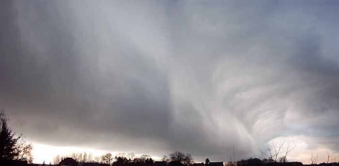
| 16:00 NW. Quite impressing sight with no significant increase in
windspeed.
|
|
 |
|
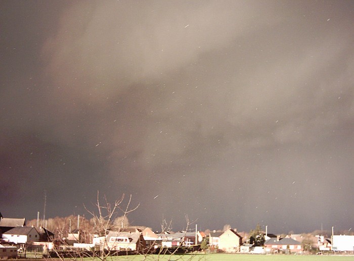
| 16:01 NW. The shelf cloud was moving quite rapidly
SW-wards.
|
|
 |
|
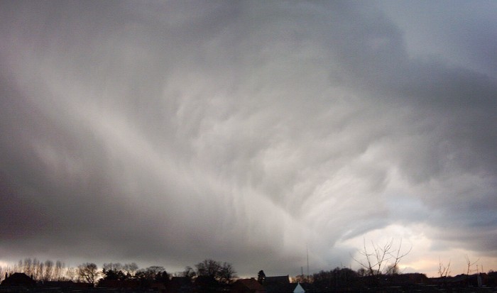
| 16:03 NW. Another view of an unforgettable moment.
|
|