| Weather pictures & report of January 28-29 2004 |
| Snow showers on several trough lines and frontal structures. |
| Synopsis: unstable NW'ly polar maritime air with several trough lines and frontal structures. Pictures taken at Kampenhout in CET. |
 |
|
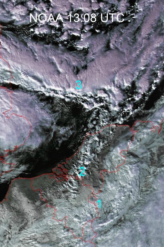
Satellite picture of January 28 2004 at 14:08 CET. Number 1 indicating remnants of the trough line which produced in the forenoon some light to moderate showers of snow over Mid Belgium. Number 2 indicating a line of some light showers of mostly wet snow in the north of Belgium and parts of Holland. Number 3 indicating a rather severe trough line (or cold front) reaching the low countries during late evening with locally a few cm of fresh snow. (Source: NOAA & University of Bern)
|
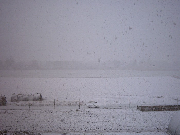 |
| 2004/01/28 11:09 N. During forenoon a trough line
produced tempo moderate falls of snow. Most of the snow cover of 1,5 cm melted during the day.
|
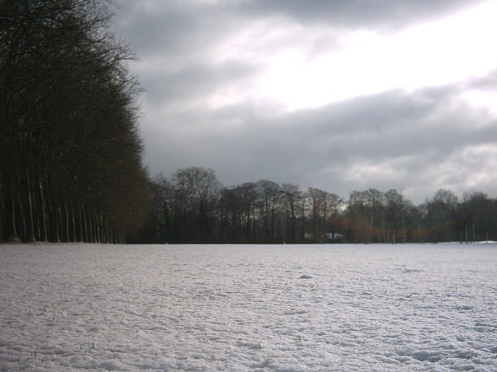 |
| 2004/01/29 11:17. The next day: breaking Stratocumulus clouds and a fresh coat of snow.
|
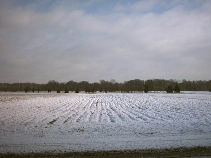 |
| 2004/01/29 11:20. Rays of sun trying to push true.
|
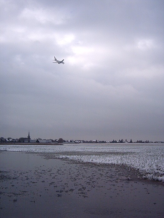 |
| 2004/01/29 11:32. During the previous night (after the
snow), temperatures didn't sink below freezing, giving this wet impression. Air traffic was not
affected at all.
|
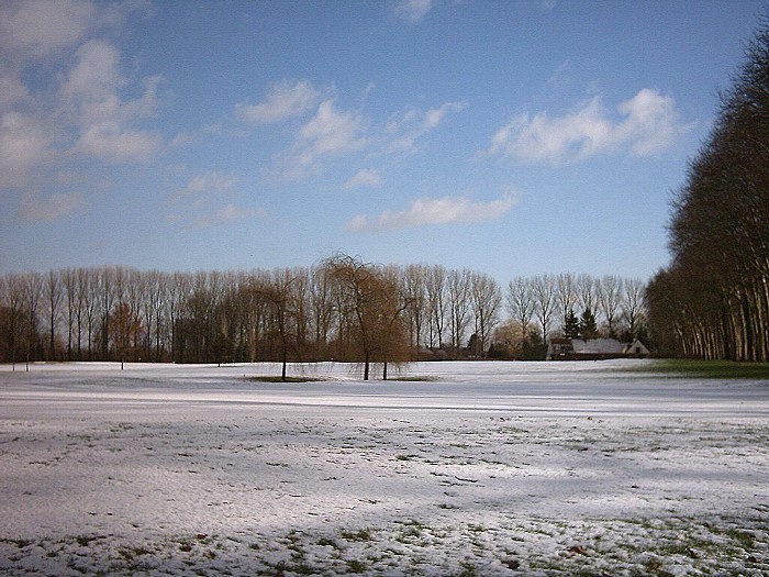 |
| 2004/01/29 14:02. A break in the clouds gives a much brighter look. |