| Weather pictures & report of April 30 2004 |
| Thunderstorms along convergence line. |
| Synopsis: low pressure covering our area with ahead of cold front a convergence line. During the afternoon/evening formation of some severe thundery showers along this line. During the evening a thunderstorm developed between the convergence line and cold front. During 1,5 hours it produced in my area an unbelievable rainfall amount of 42mm, with more than 30mm within half an hour. All pictures taken at Kampenhout in CET. |
| Radar sequence between 1945-2115 CET showing thunderstorm activity over
my area. Ppn tops went as far as 15km. (Source: Belgocontrol).
|
|
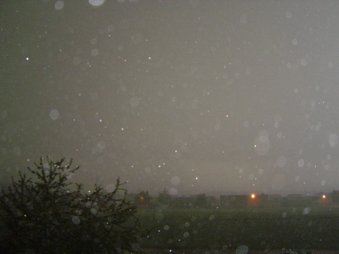
| 19:44 NNW. Torrential rain for half an hour.
|
|
|
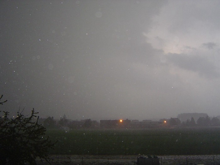
19:52 N. Resulting in soaked ground.
|
 |
|
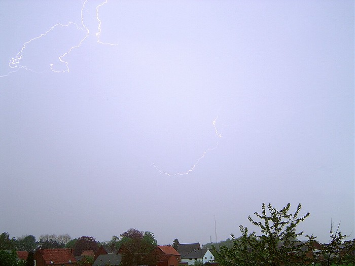
20:23 NW. My first ever attempt of photographing lightning on daylight. After
dozens of trials this was the only succesfull shot.
|