Synopsis: advection of warm maritime potential unstable
air in warm sector. With rising temperatures in afternoon MCS
developed over the coast and over the Ardennes melting together over mid Belgium. Bruges observed hailstones of 3cm. In my area
the thunderstorm was modest and collected only 5 mm of rain. The
cloudiness however was quite fascinating with a Cb tuba as desert. All photos taken at Kampenhout
in CET.
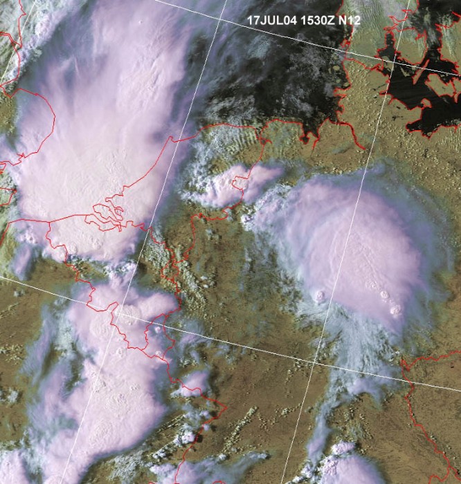
Satellite picture of 17:30 CET showing 3 MCS. (Source
NOAA & Wokingham weather)
Radar sequence between 1545-2015 CET showing ultra deep
convection over the western parts of Belgium. Ppn tops went up to 17km. At
that moment hailstones of 3 cm fell near Bruges. These cells moved to
Holland giving an outstanding shelf cloud over there. Later on new, but less intense, storms developed over central
and Eastern parts of Belgium (Source:
Belgocontrol).
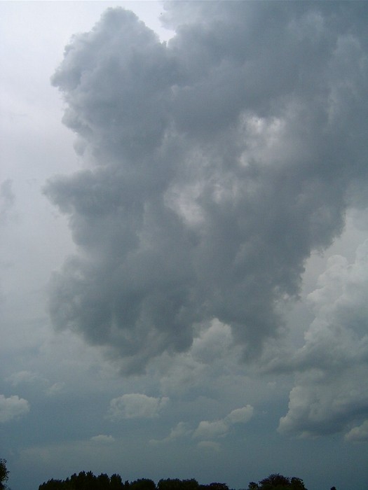
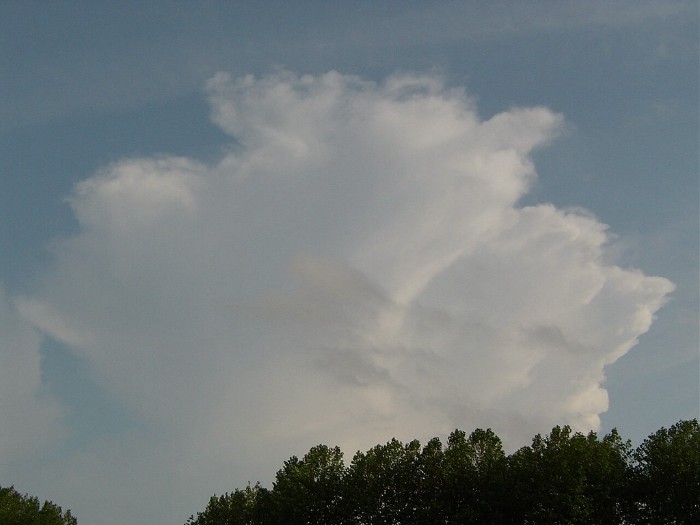
17:20 WNW. First signs of upcoming heavy weather with the towering
cumulus.
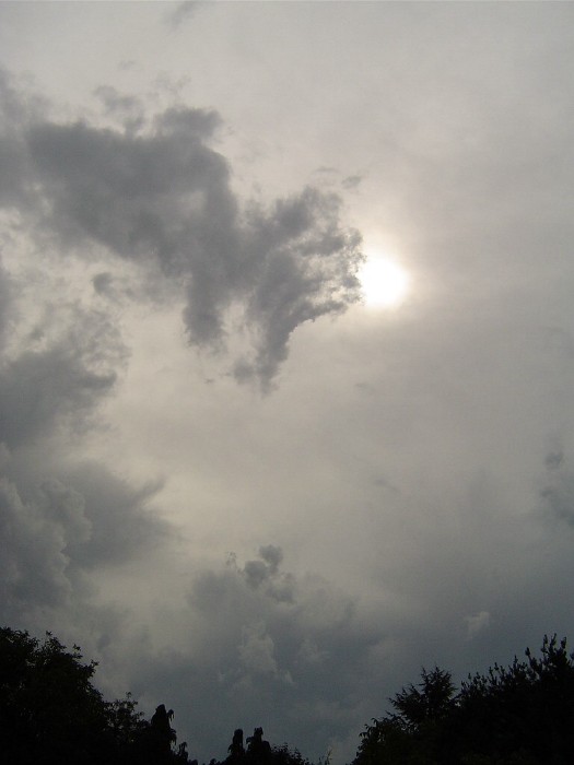
17:22 W. Last rays of sun in a milky sky. First rumbles were heard.
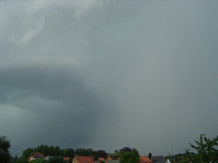
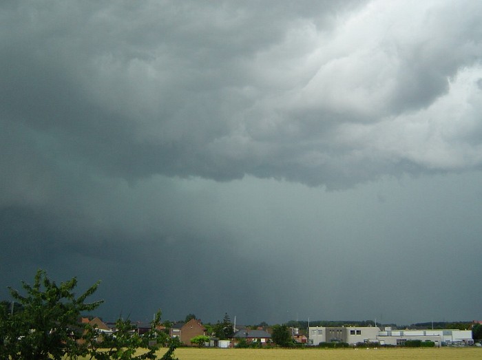
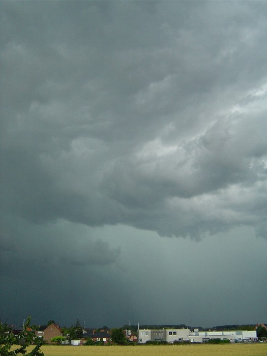
17:57 NW. This cell with a burst of rain was passing just north of my area.
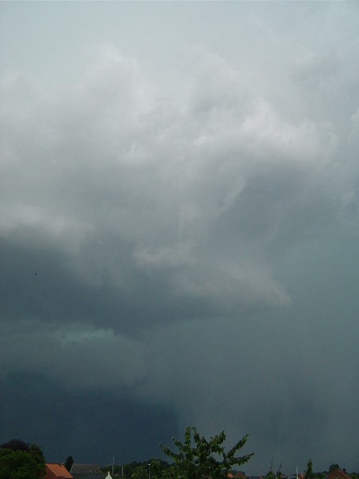
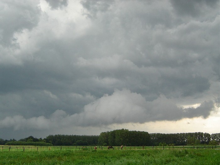
18:01 NNW. At some moments the sky looked really horrible with even a
greenish shine.
18:03 N. Looking a bit more to the north.
18:04 N. Chaotic skies in my neighbourhood.
18:06 NNE. Finally a burst of rain & wind went to my side
giving a 5 mm of "instant water".
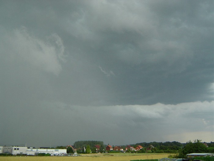
18:21 ENE. After 10 minutes it was all over but the low
clouds remained very chaotic.
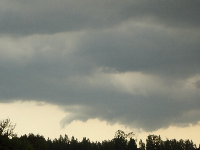
18:25 SSW. Mammatus.
18:26 S. For a minute or so this rotating cloud
was an interesting feature: a so called tuba.
19:12 S. After a while the sun came out again, but in
the south there was still development of thundery showers.