| Weather pictures & report of July 22-23 2004 |
| Thunderstorms along convergence line. |
| Synopsis: flat pressure gradient in warm potential unstable air. During late evening and early night a convergence line ahead of the cold front entered Belgium with thunderstorms. All photos taken at Kampenhout in CET. The lightning shots have been taken with shutter speed of 1-2 seconds. |
| Radar sequence between 2230-0015 CET. Tops of precipitation went
up to 14km. (Source: Belgocontrol).
|
|
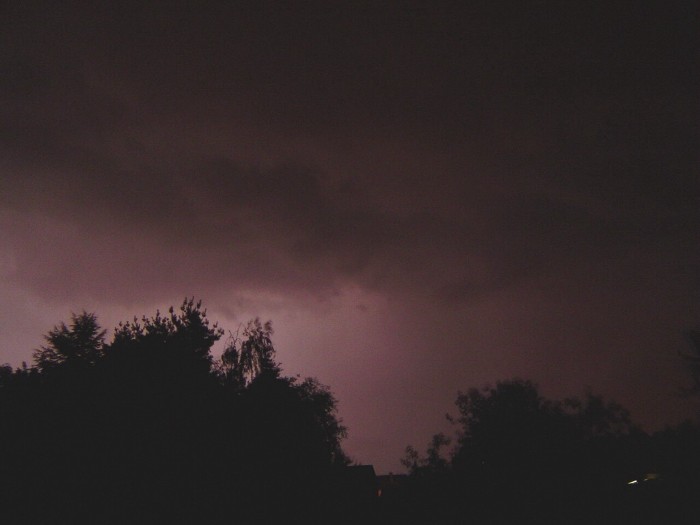
| 22/07/2004 23:44 W. My view wasn't exactly great, but at least
this was an attempt of an IC.
|
|
|
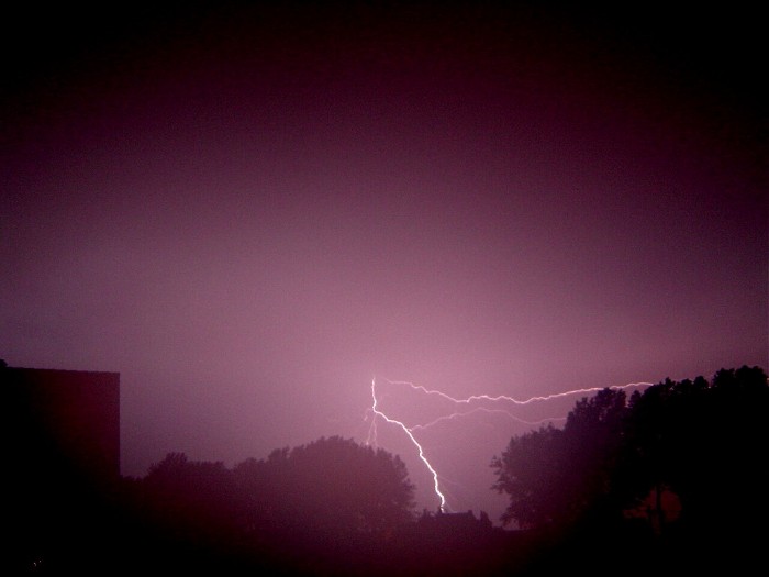
23/07/2004 00:52 SE. Some bad luck as my lens became damped on earlier
trials and this was in fact the only decent shot of the night. These
were my first (digital) shots of nightly lightning.... up to the better
stuff in future?
|