| Weather pictures & report of August 7 2004 |
| Thunderstorms along convergence line. |
| Synopsis: advection of deep unstable continental air from ESE. During late evening and night formation of thunderstorms on a small convergence line over mid Belgium giving a continuous lightning show for 5 hours. A total of 21 mm rain was collected during 3 hours. All photos taken at Kampenhout in CET. The lightning shots have been taken with shutter speed of 1-2 seconds. |
| Radar sequence between 0245-0430 CET, with the thunderstorms
slowly moving from SE to NW. Ppn tops went up to12km. (Source:
Belgocontrol)
|
|
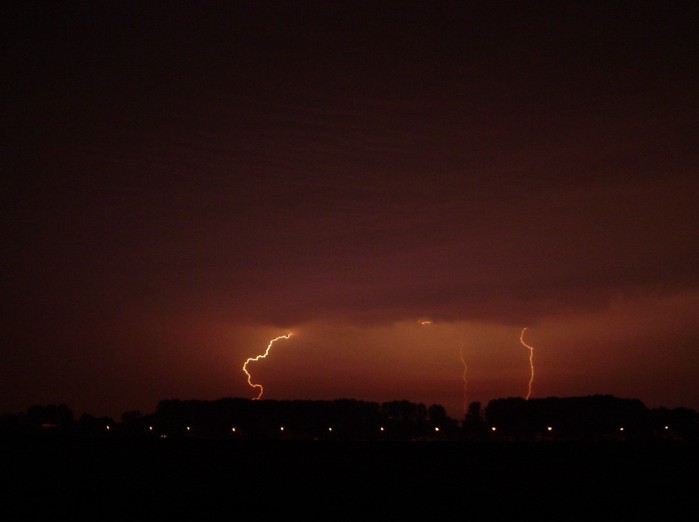
| 02:26 S. First lightning appeared on the S'ly horizon
and this shot was taken from outside my car. After half an hour I went into my
home for the threatening light & noise show.
|
|
|
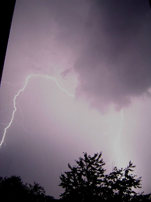
03:35 NW. Call for shelter was obvious when looking at this. The noise went straight up, even behind glass. Rain started to
deteriorate things for a while.
|
 |
|
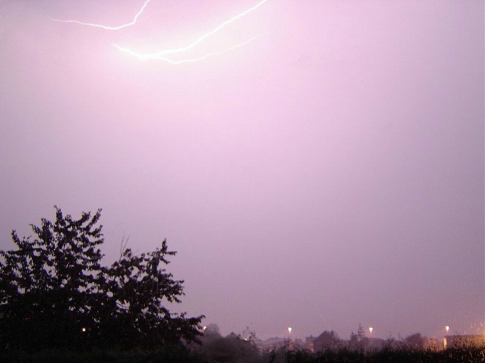
04:17 NNW. Lightning show above my head and lucky the rain began to ease.
|
 |
|
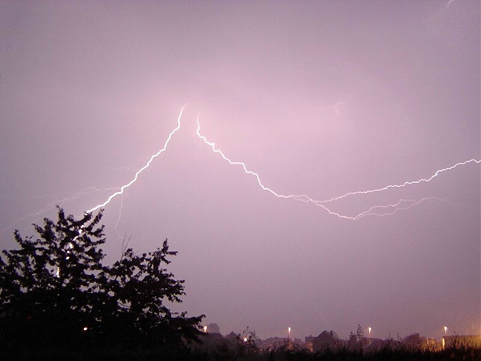
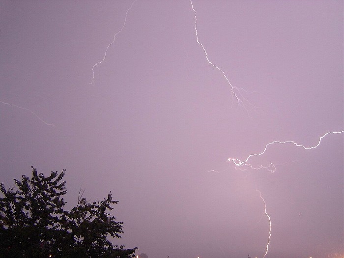
04:19 NNW. Didn't have to wait long for another decent shot.
|
 |
|
04:31 NNW. Slowly my eyes started getting tired, but managed to get this one
too.
|