| Weather pictures & report of August 18 2004 |
| Thundery squall line and splitting cell. |
| Synopsis: advection of humid unstable maritime air from SW. During the evening a cold front crossed Belgium with ahead formation of a thundery squall line. Just in front of this squall line a splitting cell thunderstorm (mini supercell) was formed over eastern parts of Belgium. In my area a total of 13 mm was collected with gusty winds around 30kt. All photos taken at Kampenhout in CET. |
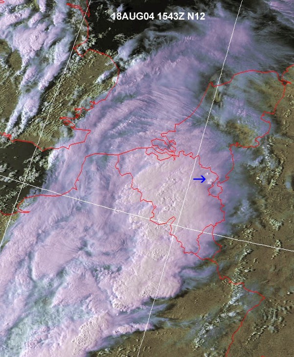 |
| Satellite picture of 17:43 CET showing the massive
cloudiness of the squall line. The blue arrow shows 2 "overshooting" tops of a splitting
thunderstorm over northeast Belgium. (Source: NOAA &
Wokingham weather)
|
|
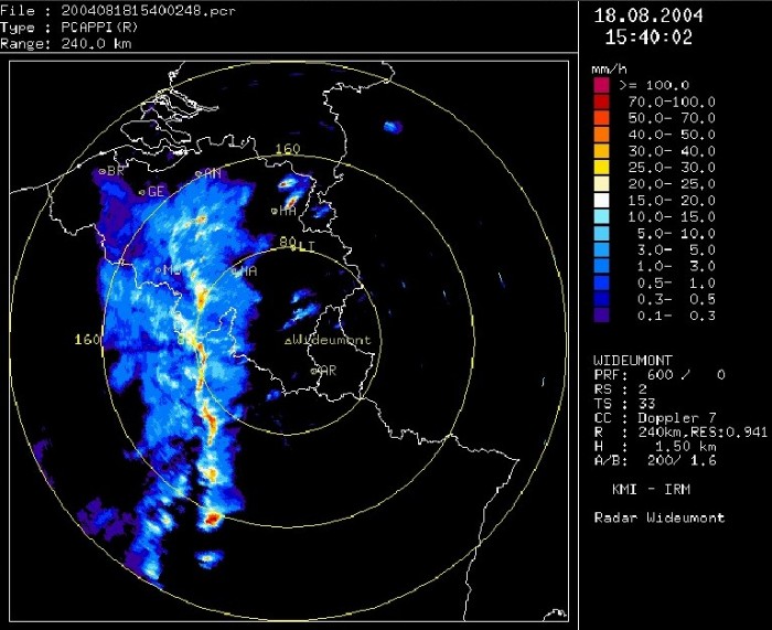
| Radar picture of 17:40 CET showing the beginnings of the
squall line over mid and south Belgium. Over northeast Belgium the
splitting cell with at the end the "right mover" surviving. (Source: KMI).
|
|
|
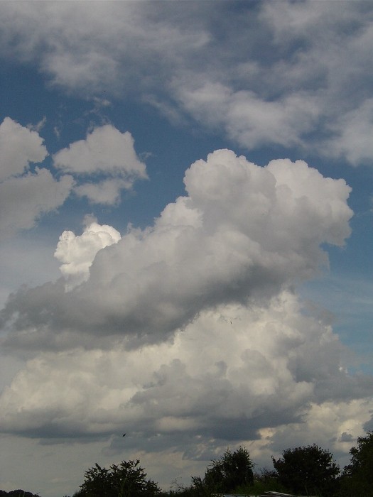
16:42 ESE. Starting towering Cumulus.
|
 |
|
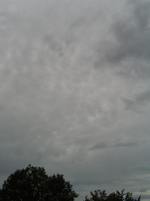
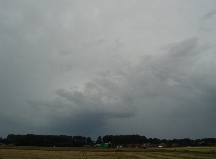
17:05 E. Gradually an invasion of Altostratus with below towering Cumulus activity.
|
 |
|
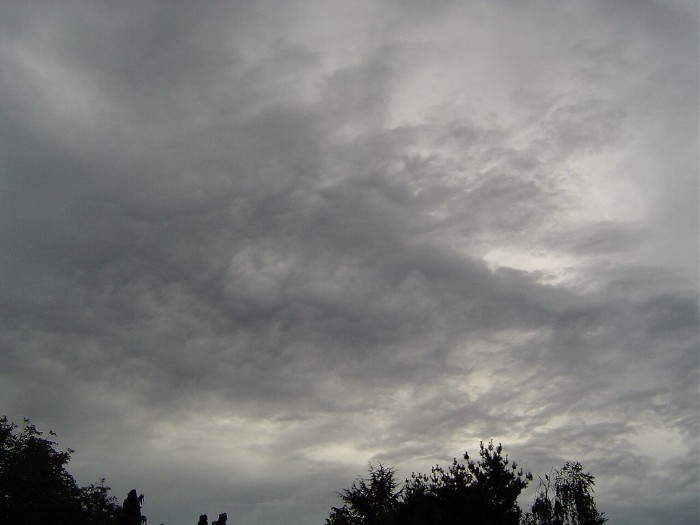
17:13 W. Some mammatus features in the Altostratus.
|
 |
|
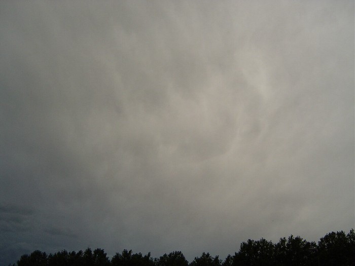
17:30 SW. Behind these clouds the first rumbles of thunder were heard.
|
 |
|
19:58 W. After the thunderstorm has passed still some chaotic skies.
|
 |
| 20:07 SSE. And some mammatus/virga.
|
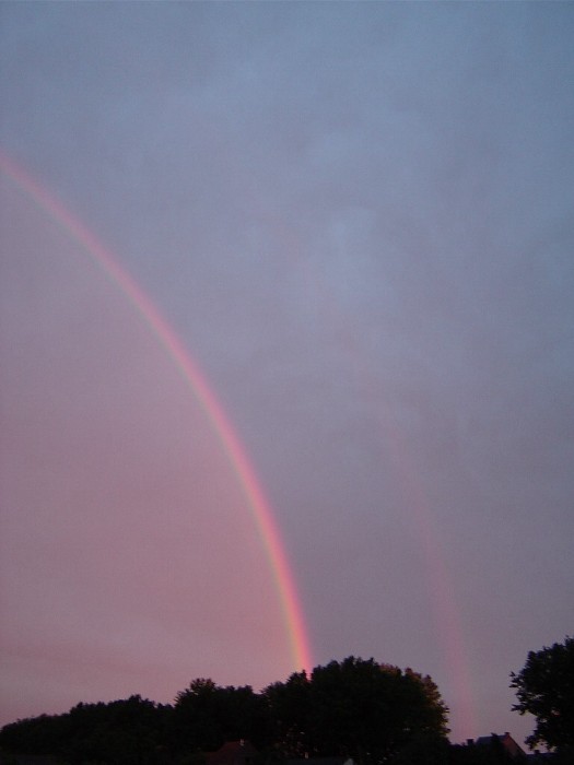 |
| 20:50 SSE. And a double rainbow as desert.
|