| Weather pictures & report of February 13 2005 |
| Wintry showers. |
| Synopsis: advection of unstable polar maritime air from the NW. With T 850 hPa -6°C, T 500 hPa -36°C, wintry showers were produced all day long, sometimes organized in troughlines. Photos taken at Steenokkerzeel (near Zaventem-Kampenhout) and in Central European Time (CET). |
 |
|
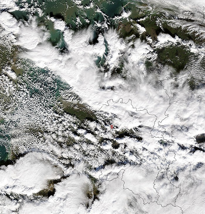
Satellite picture of Terra taken around 11:40CET. My position was at red "S". Its showing the rather isolated showers over central parts of Belgium, and amalgamated showers of a trough line over northern parts of Belgium. Latter moved SE-wards reaching my position one hour later with small hail, sleet and snow lasting for about an hour. T surface dropped from +5°C to 1,5°C. (Source: Image courtesy of MODIS Rapid Response Project at NASA/GSFC)
|
 |
|
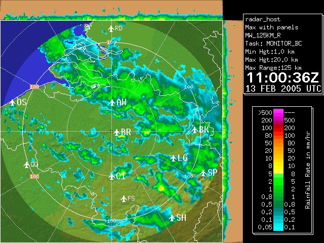
Radar picture of 12:00 CET showing the below described features. My position was at "BR". Tops went up to 6-7km with even a weak thunderstorm in northern parts of province Antwerp. (Source: Belgocontrol)
|
|
|
09:54 E. First isolated showers during forenoon, indicated by this Cb calvus praecipitatio.
|
 |
|
11:03 NE. Precipitation reaching the ground is evident in this picture, thus being called a Cb praecipitatio.
|
 |
|
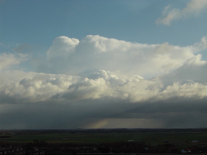
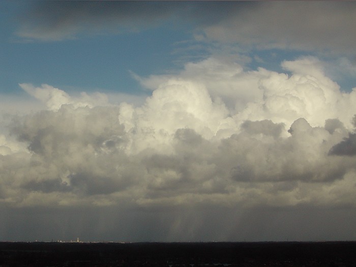
11:55 N. The precipitation was mostly composed of soft hail. Behind the
towering cumulus, high and medium cloudiness of a trough line over northern parts of Belgium
becomes visible.
|
 |
|
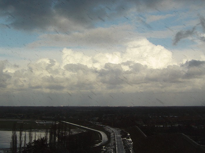
11:59 N. Another view on the towering clouds. The white stripes below are precipitation trails from the towering cumulus illuminated by the sun. They were at approx 15 km distance near Mechelen (left side St-Rombouts tower). Check also the above corresponding satellite and radar pictures.
|
 |
|
12:01 SE. Bursts of wintry precipitation.
|
 |
|
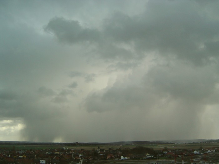
12:39 NE. Arrival of the showers associated with the trough line. A little shelf cloud could be noted for a brief moment.
|
 |
|
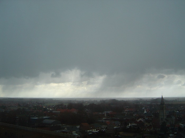
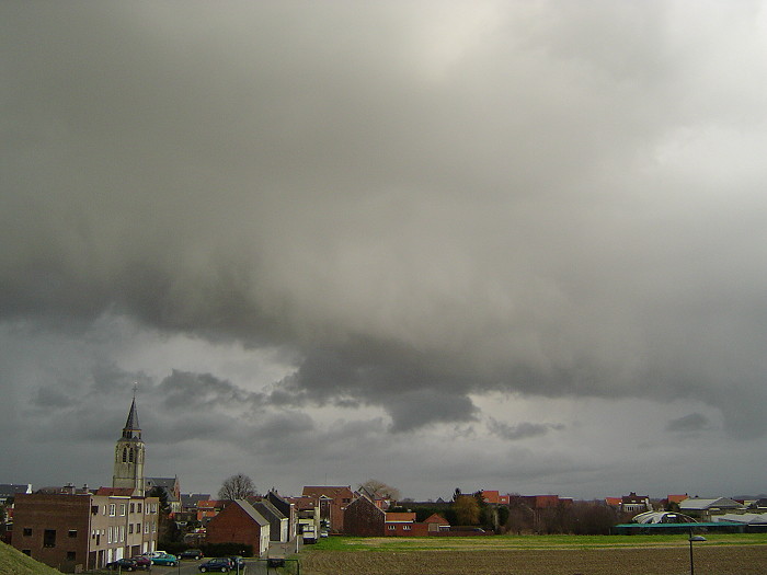
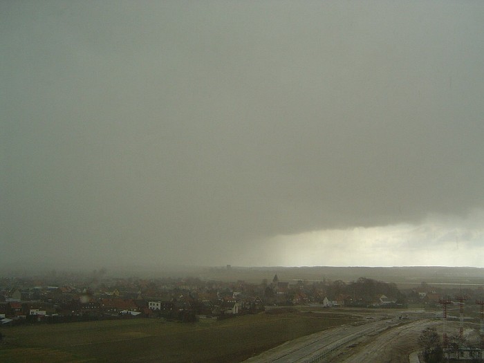
12:48 SE. Visibility was reduced to minimal 1500 meter in the wintry ppn. It started as soft hail and ended with big snow flakes.
|
 |
|
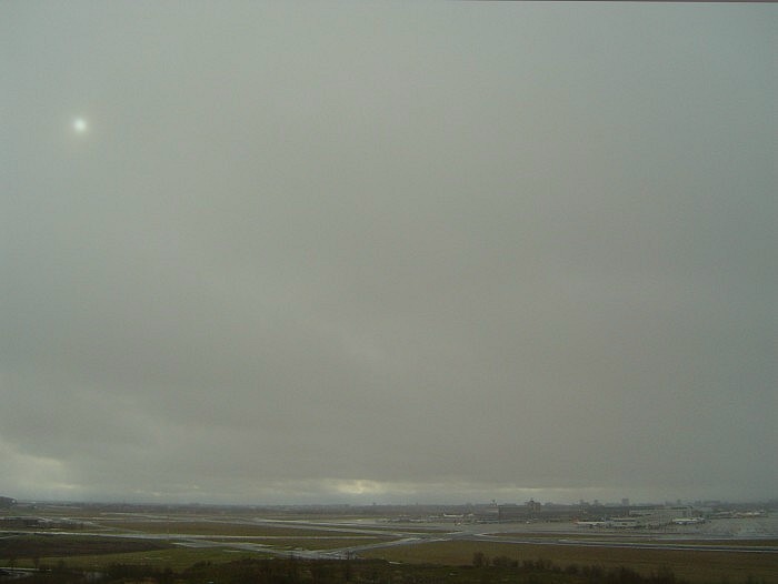
14:26 SW. Although this seems Altostratus translucidus, it is nothing more than snow in the air of another incoming shower.
|
 |
|
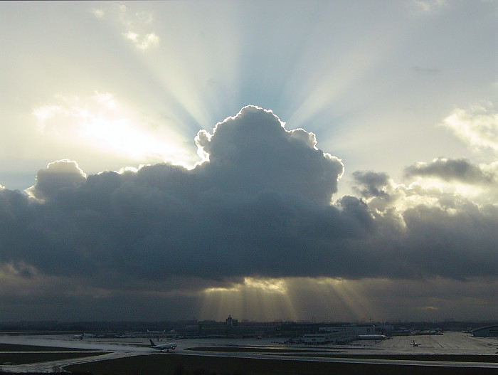
16:36 SW. Nice crespuscular rays towards sunset, accentuated by the snow in the air.
|
Back to winter weather reports