| Weather pictures & report of April 27 2005 |
| Isolated thunderstorms with mammatus. |
| Synopsis: after nightly passage of a cold front, advection of maritime unstable air from WSW. T500 hPa was around -30°C and our area was situated on the left exit of the jetstream. Diurnal heating caused formation of isolated thunderstorms in central and eastern parts of Belgium. All photos taken at Kampenhout in CET. |
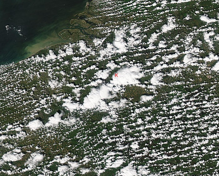 |
| Satellite picture of Aqua around 14:10 CET showing
thunder clouds over central parts of Belgium. The photographs were
taken near the red "K". The big
cloud just SE of my spot was a thunderstorm producing mamma clouds for almost an hour. The
shower west of K produced a rumble of thunder and was pictured at 1418
CET. (Source: Image courtesy of MODIS Rapid Response Project at
NASA/GSFC)
|
|
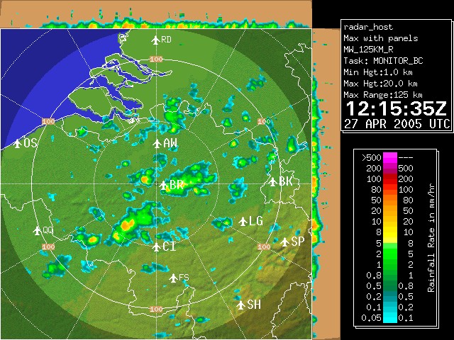
Corresponding radar image of 14:15 CET. The showers had precipitation tops of maximum 8km. (Source: Belgocontrol)
|
|
|
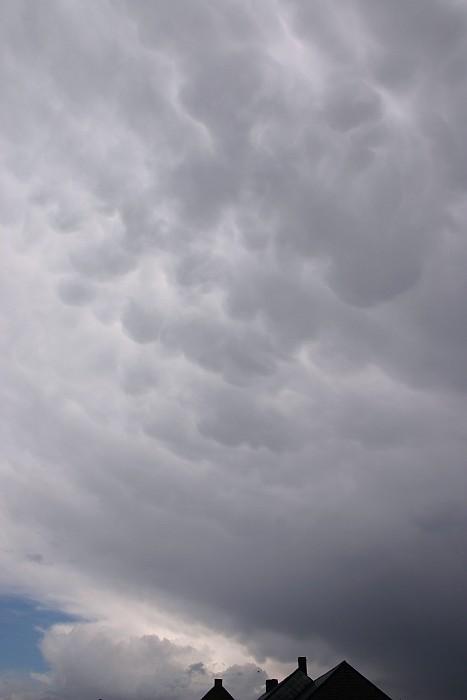
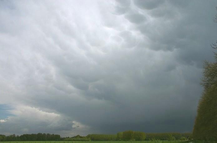
14:12 ENE. Mamma features with the major cell just S of my location.
|
 |
|
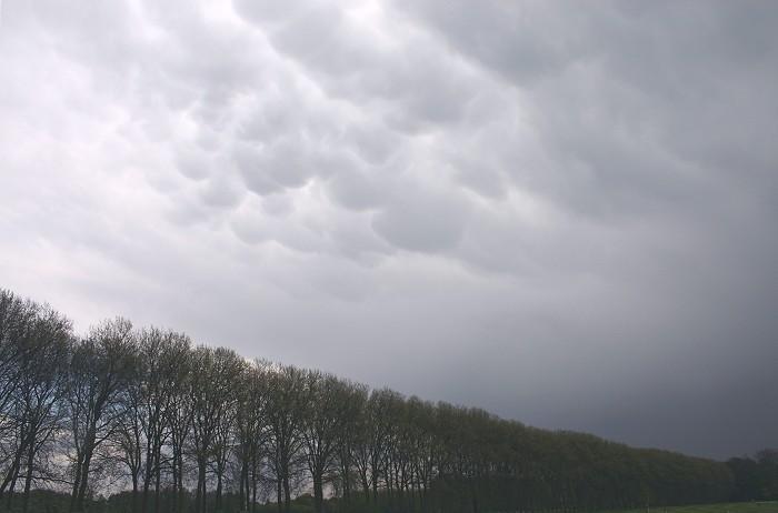
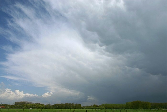
1415 E. Same features slowly moving ENE.
|
 |
|
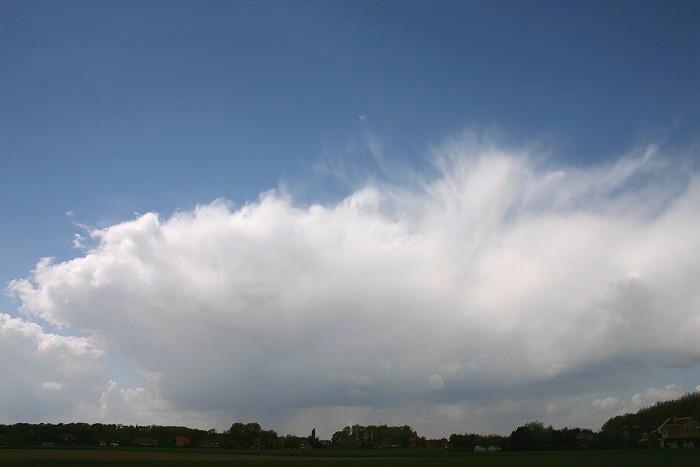
14:22 E. The sun came out.
|
 |
|
14:26 E. Massive Cb anvil clearing the area.
|
 |
|
14:18 W. This Cb produced a rumble of thunder as well.
|