| Weather pictures & report of June 28-29 2005 |
| Multicell thunderstorms along convergence line. |
| Synopsis: advection of unstable air from SW. During the evening thunderstorms developed on incoming prefrontal convergence line from SW. On the first burst my area was in the developing zone with some real firework. The second burst did occur a couple hours later with less spectacle. All pics taken at Kortenberg or Steenokkerzeel (near Kampenhout) in CET with 30 sec exposure time, but lightning shots are no compositions. |
Radar sequence between 2230-2330 CET. Developing Cb over
Zaventem and my area with Cb tops up to 14 km. In these first
thunderstorms this was the last image
captured by the radar (for 7 hours) as a couple minutes later lighting struck the
antenna. |
|
|
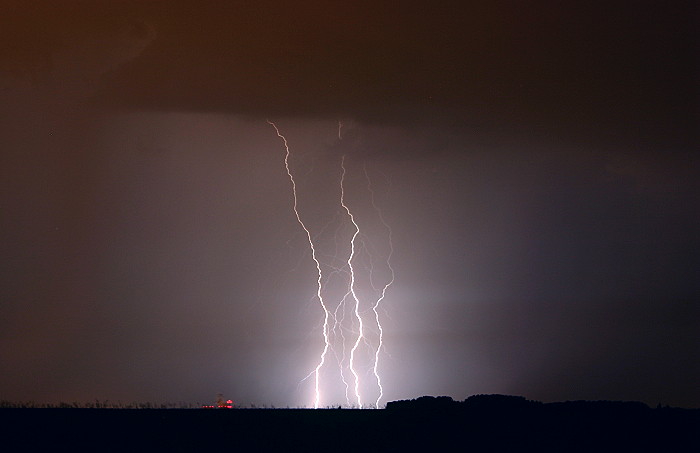
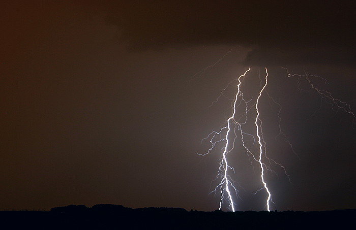
28/06/2005 2339 W. Following 7 pictures were taken within 10 minutes and
do give an idea how active this system was. The red dot on the horizon
is the new control tower at Steenokkerzeel. |
|
|
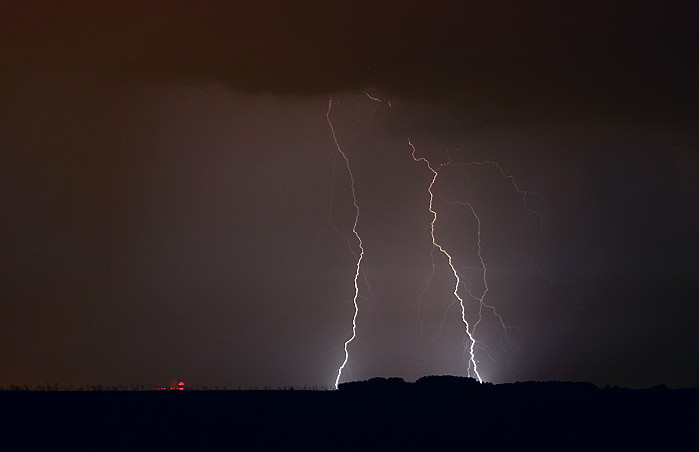
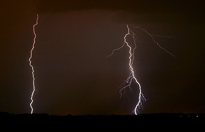
28/06/2005 2340 W. |
|
|
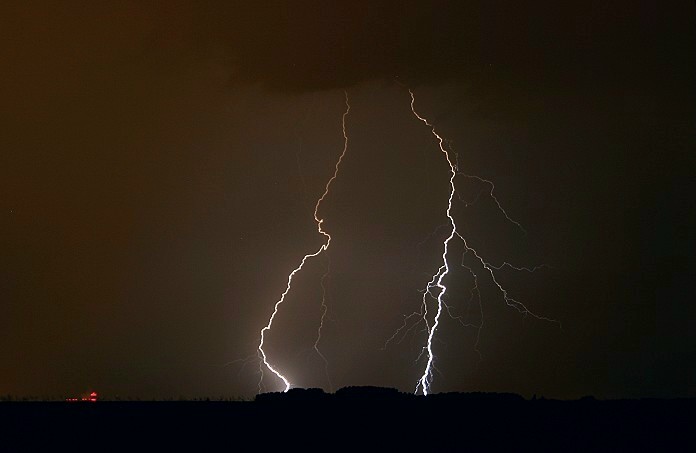
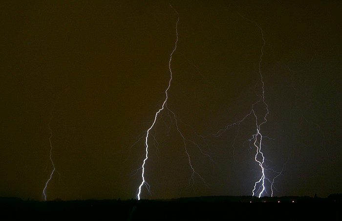
28/06/2005 2343 W. |
 |
|
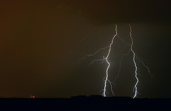
28/06/2005 2344 W. |
 |
|
28//06/2005 2345 W. |
 |
|
28/06/2005 2345 NW. |
 |
|
28/06/2005 2350 NW. |
 |
|
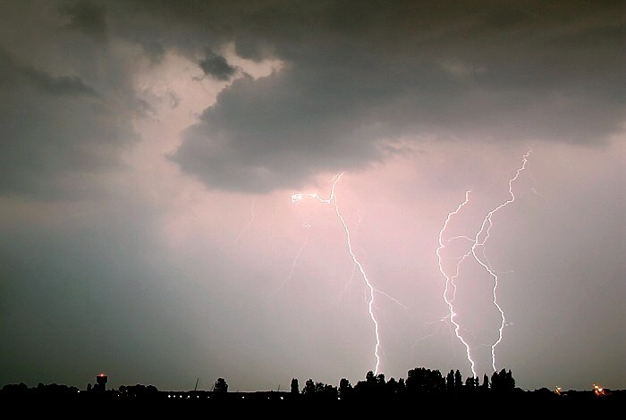
29/06/2005 0115 S Steenokkerzeel. A second burst of showers was less impressive but managed to get this close triple CG. |