| Weather pictures & report of August 21 2006 |
| Multi-cell thunderstorms along trough line. |
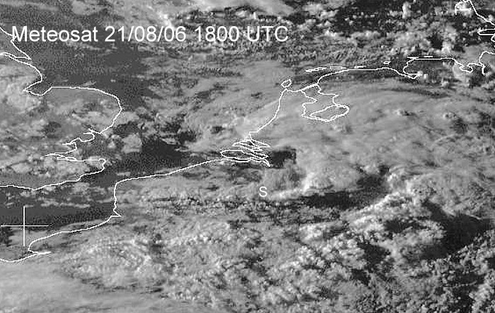
| Synopsis: steering feature was a low of 1005 hPa over Scandinavia. During the afternoon, an unstable occlusion crossed our area with weak thunderstorms. In the postfrontal maritime air a trough line developed crossing the area during the evening with moderate thunderstorms. All pics taken at Steenokkerzeel in local time (CET). |
|
Satellite picture at 2000 CET. Multi-cell thunderstorms over central and east Belgium. My location was at the white "S". (Source satpicture: Meteosat and Dundee University)
|
Radar sequence between 1850-2020 CET. My location was near "BR". A trough line with thunderstorms is moving ESE wards with tops up to 8 km. (Source radar picture: Belgocontrol)
|
|
21/08/2006 1930-1935 SE. Behind a thunderstorm, a whale's mouth effect just before a new shower arrived.
|
|
21/08/2006 1953-2000 NE. When breaks started to appear, this sunlit mammatus
effect was captured on motion.
|