SkyStef's weather page
|
|
SkyStef's weather page |
500 hPa height + temperatures + mean sea level pressure
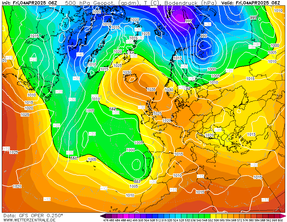
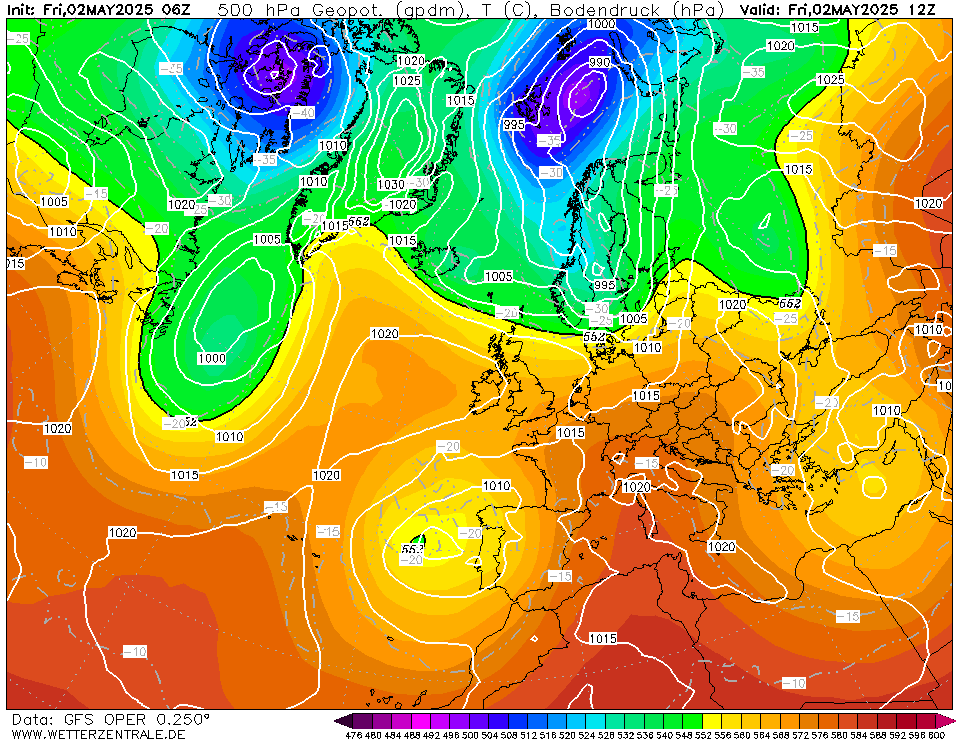

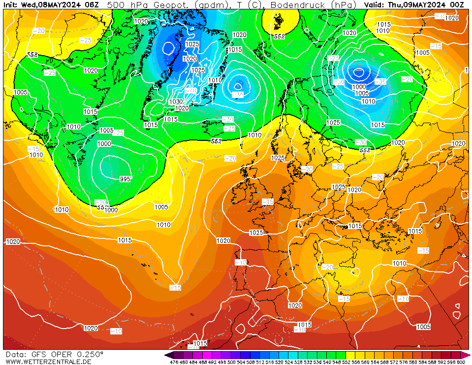
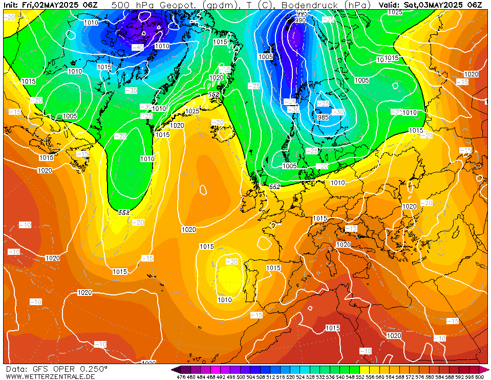
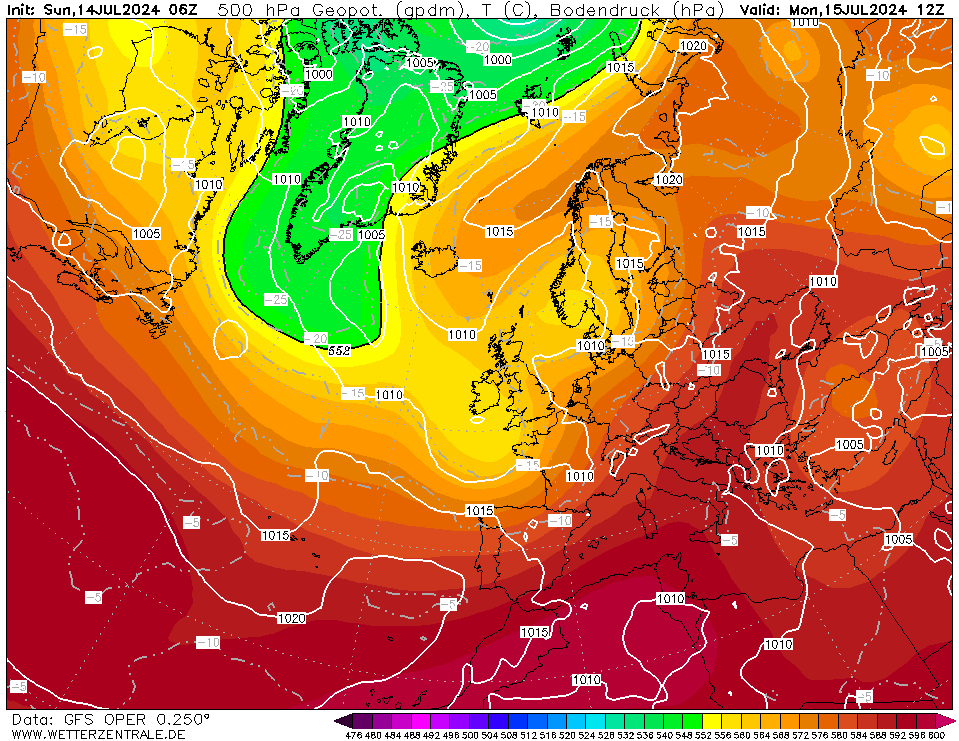
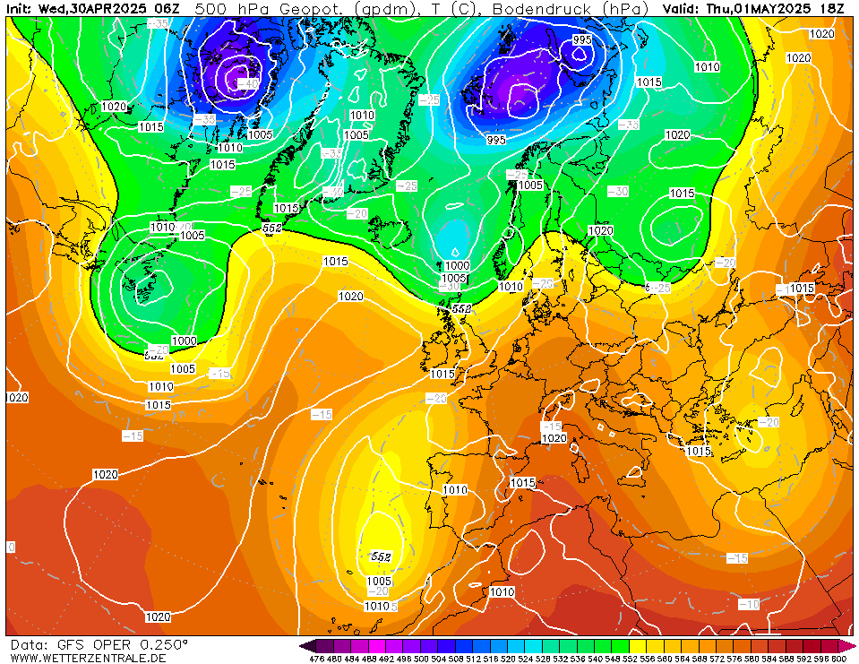

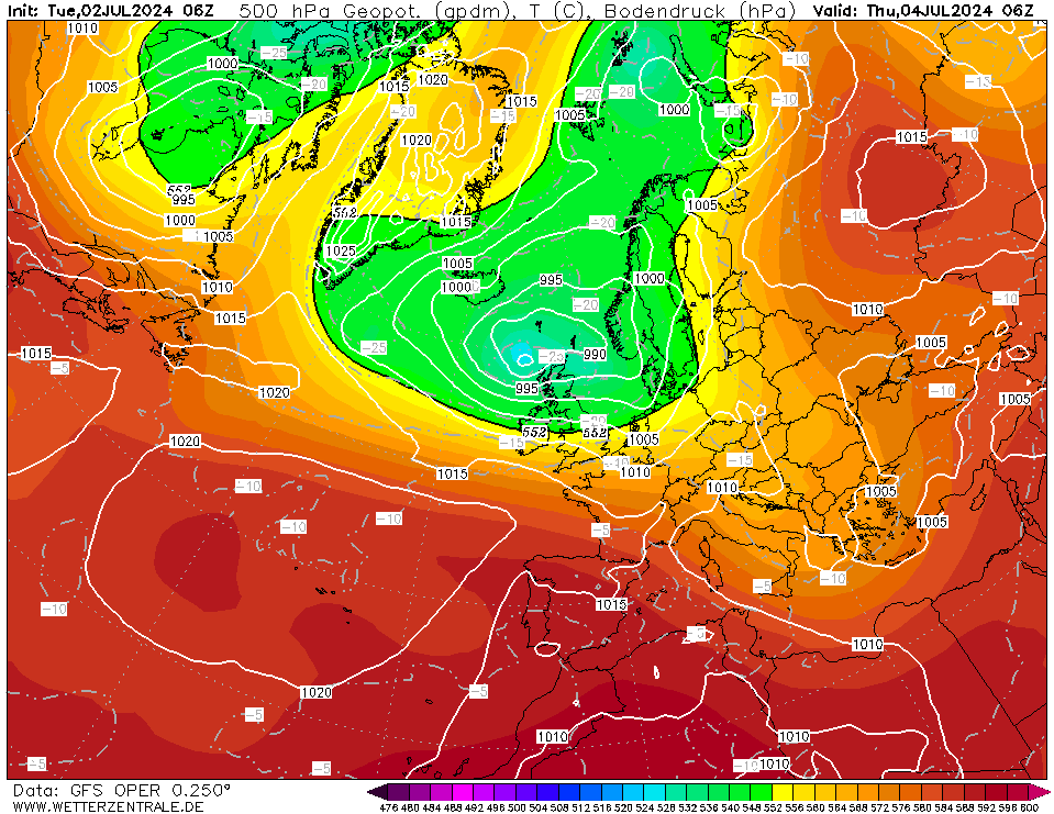
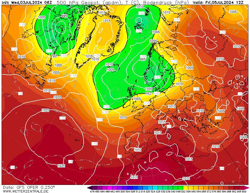
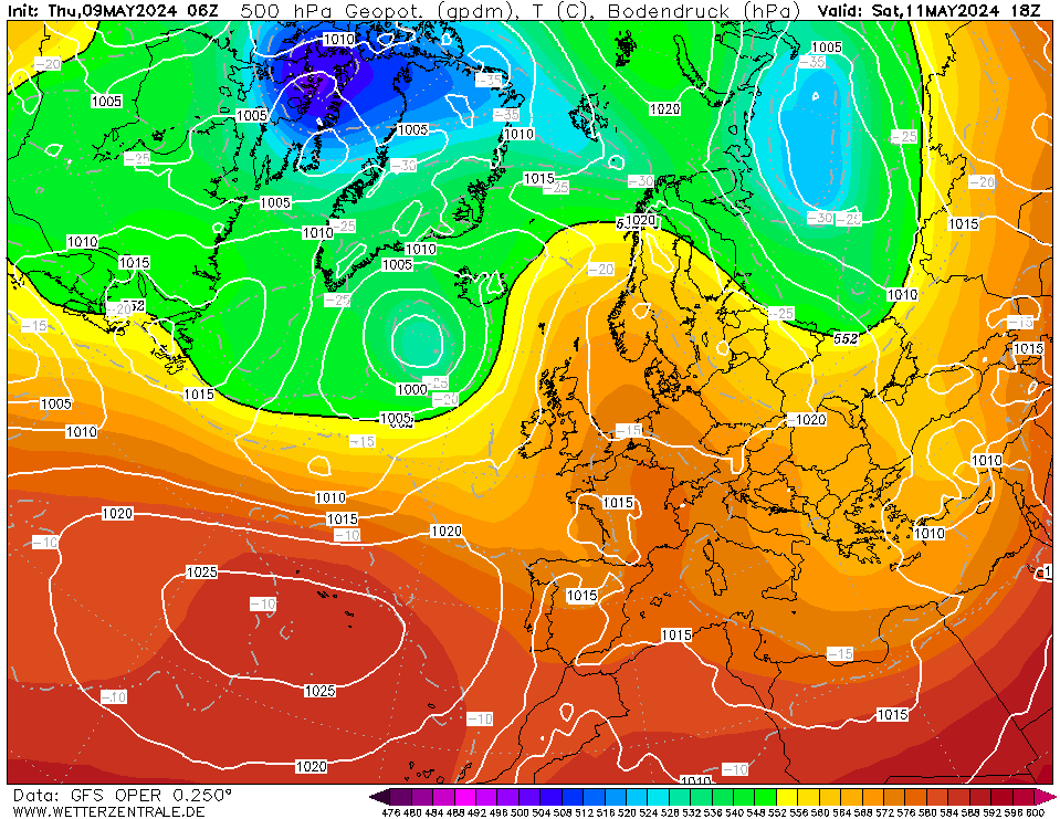
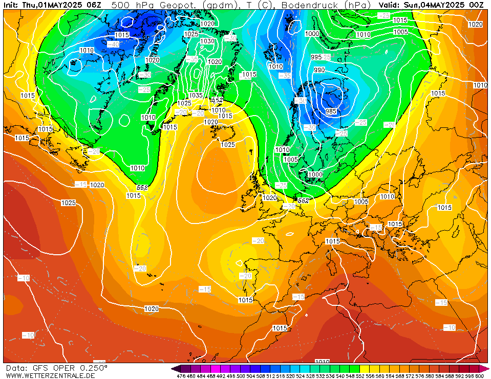
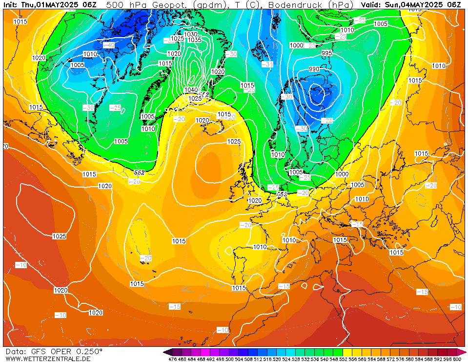
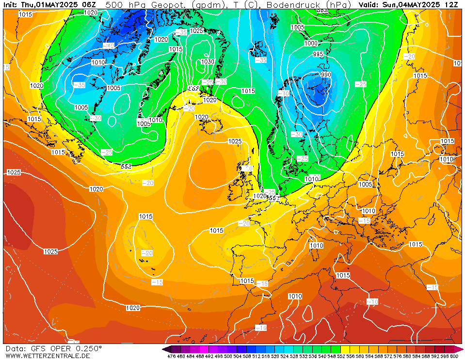
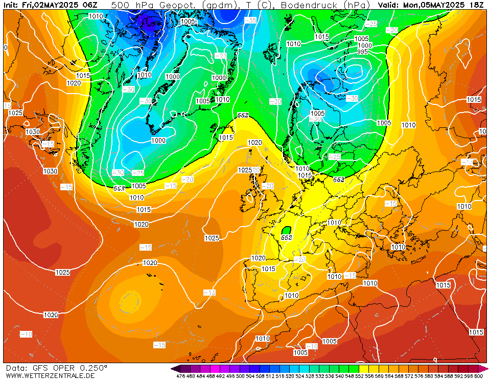
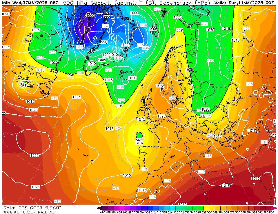
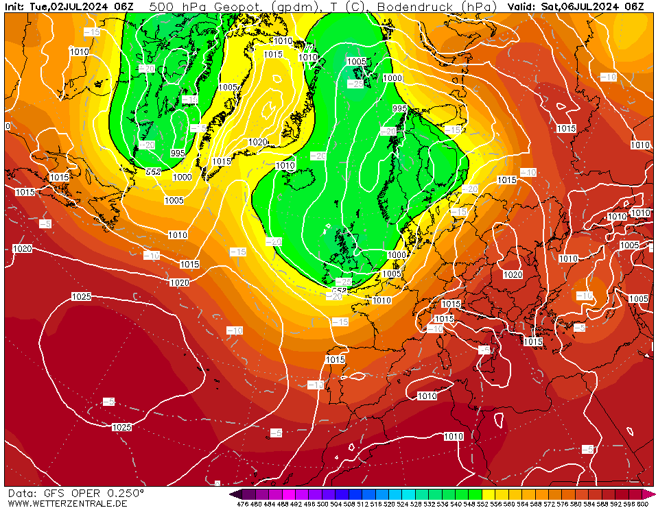
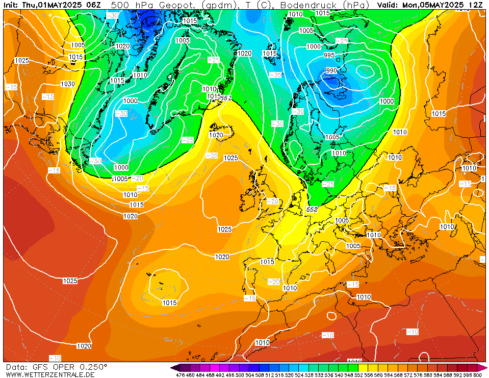
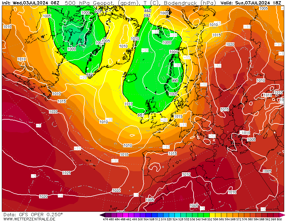
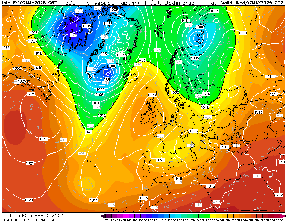
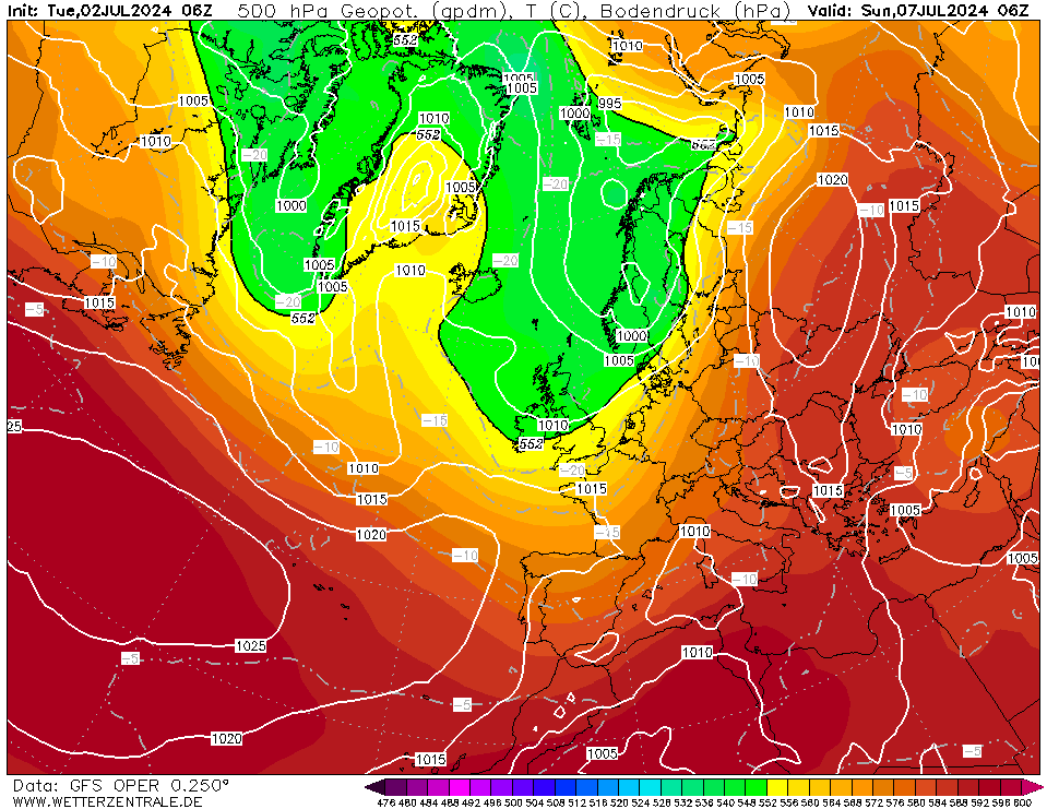
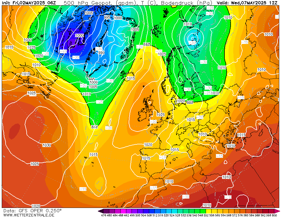
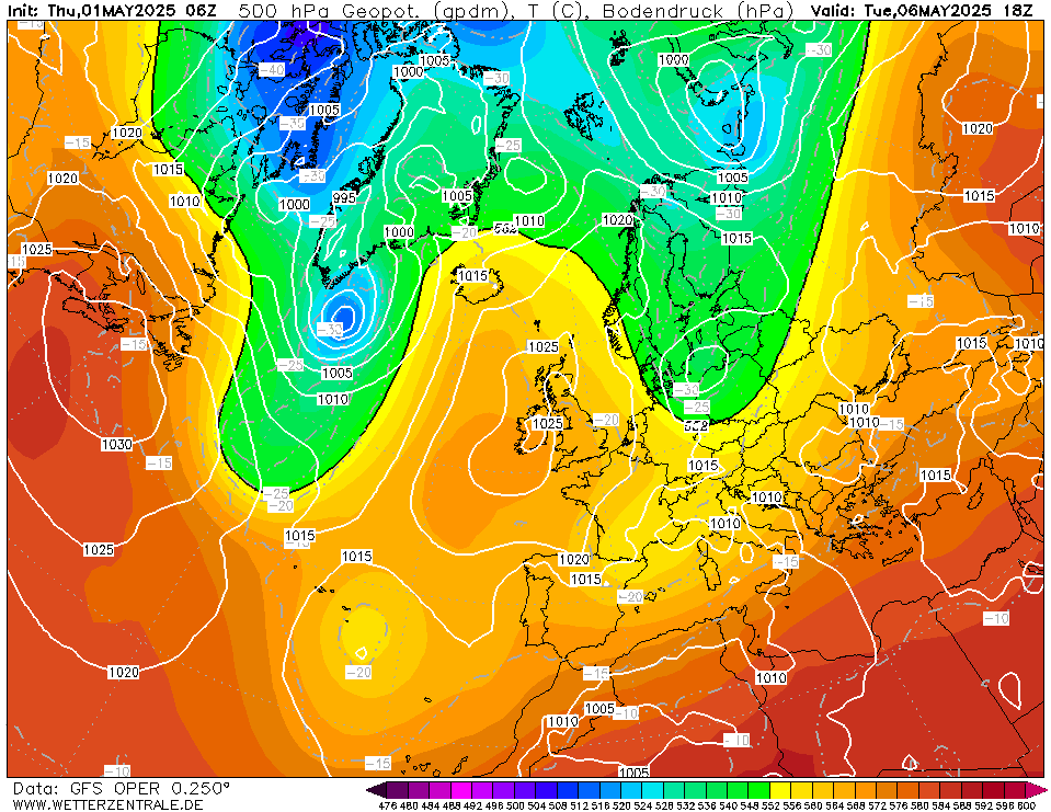
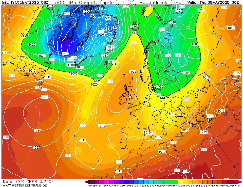
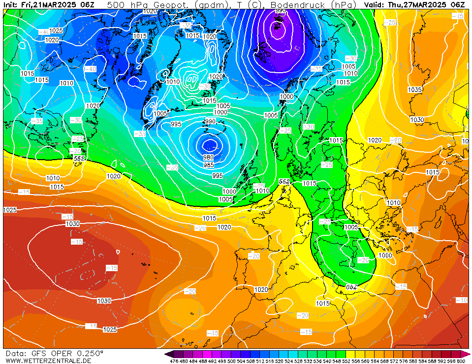
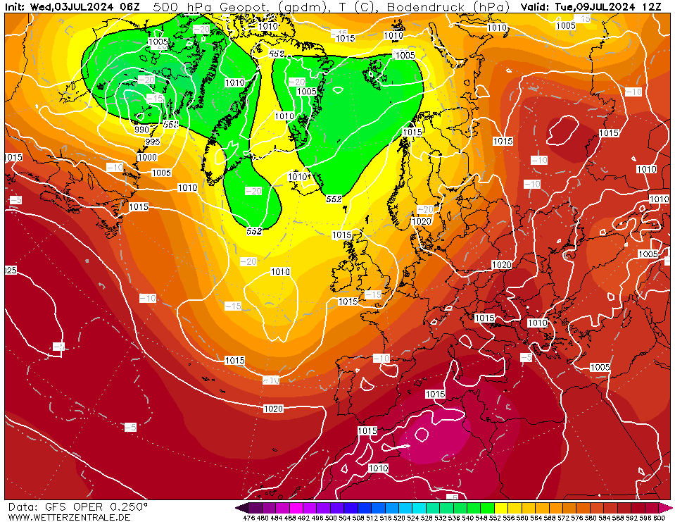
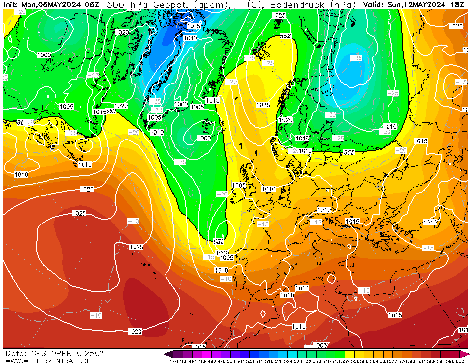
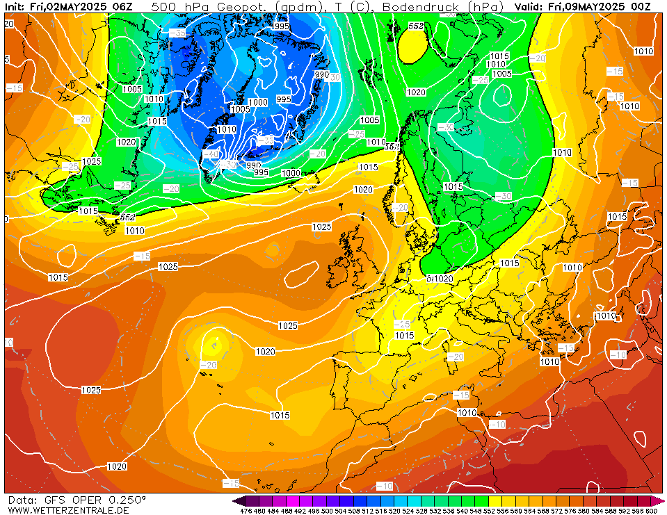
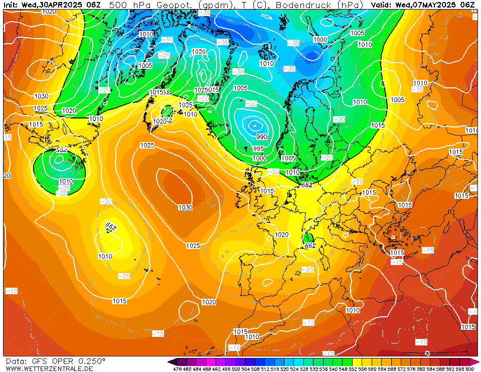
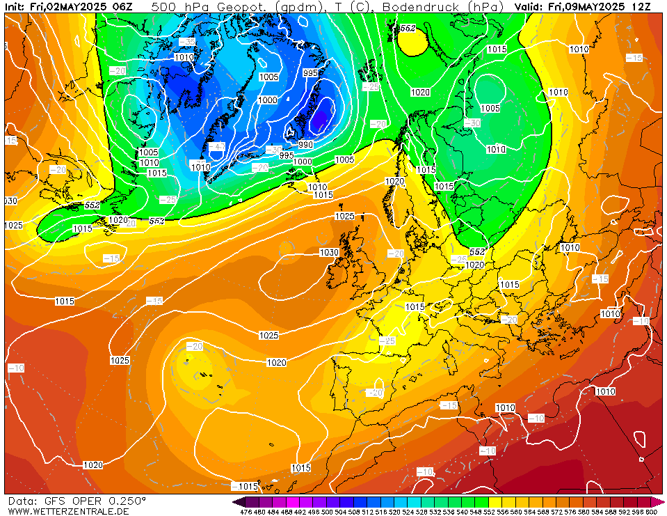
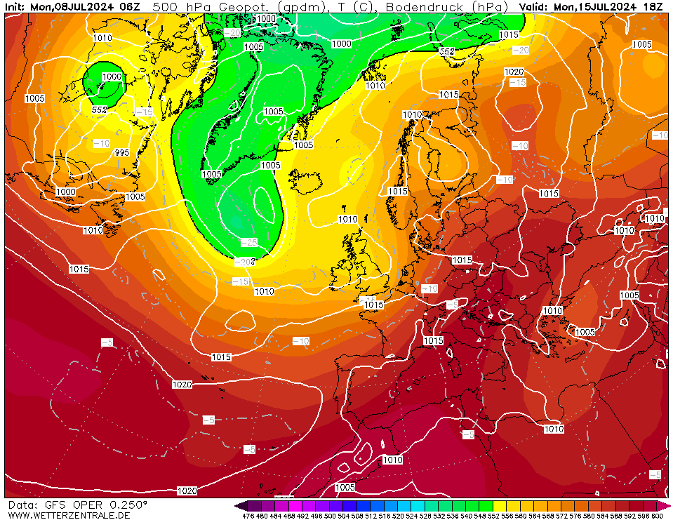
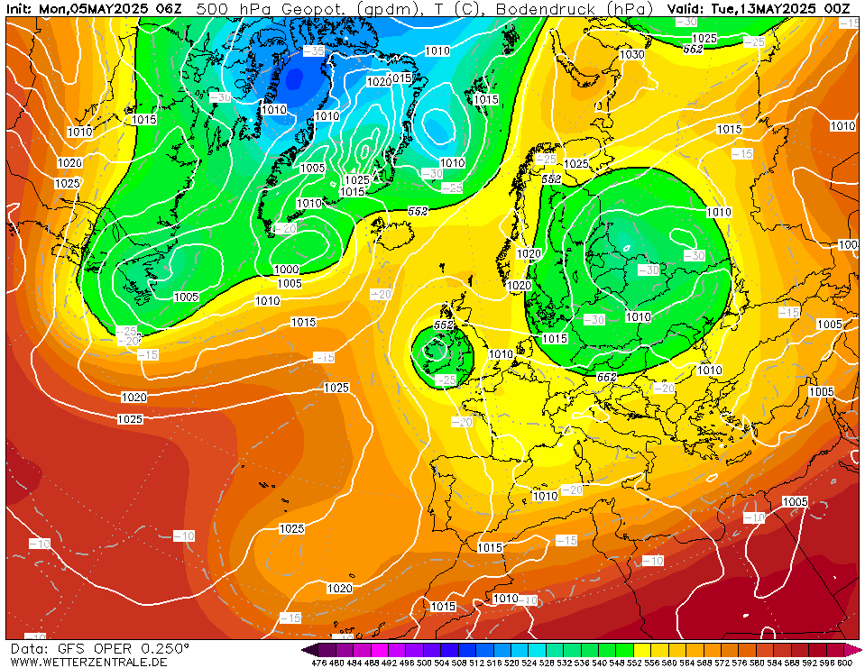
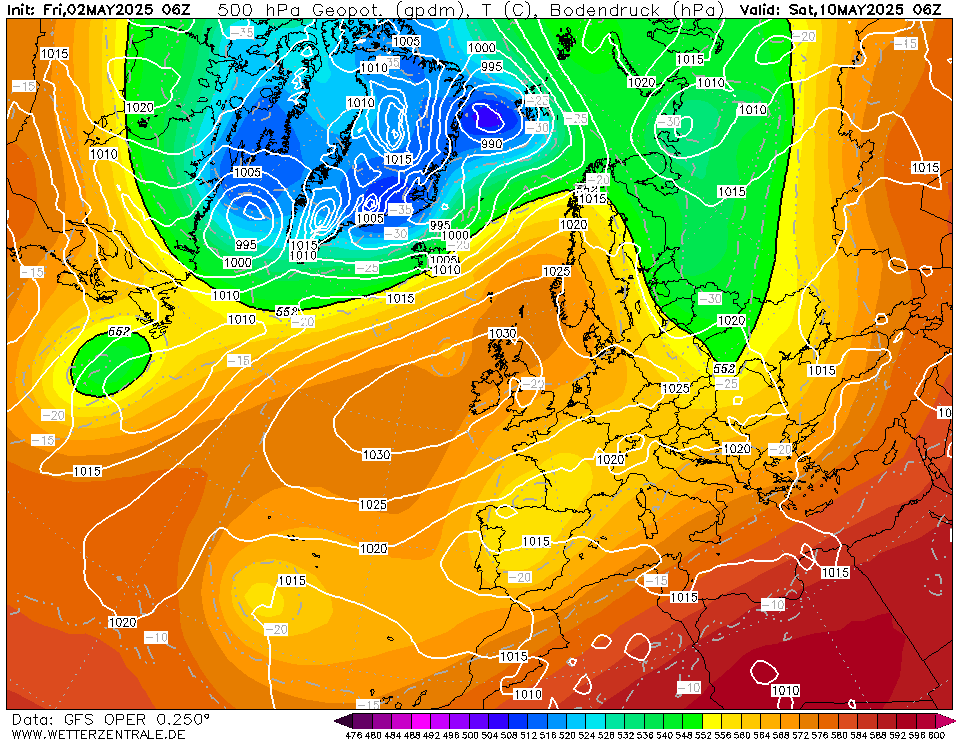
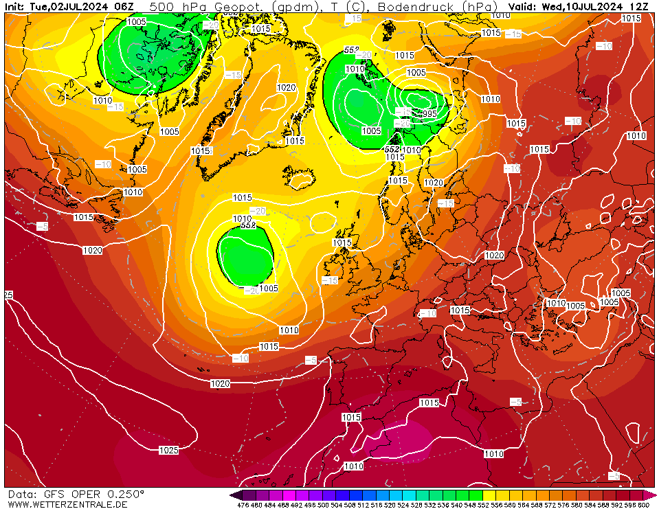
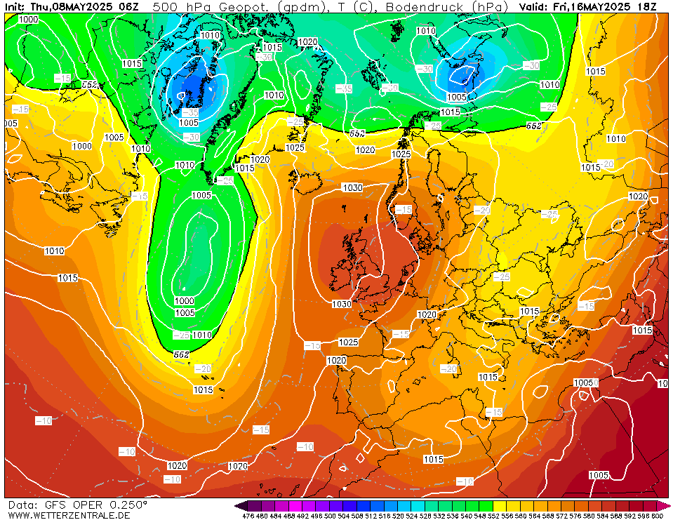
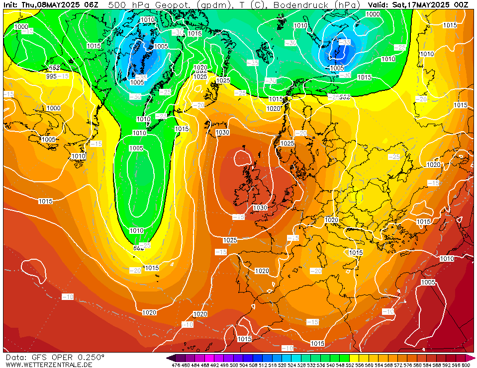
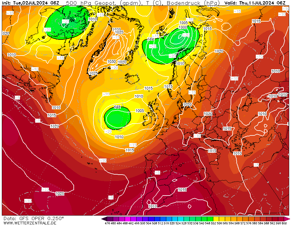
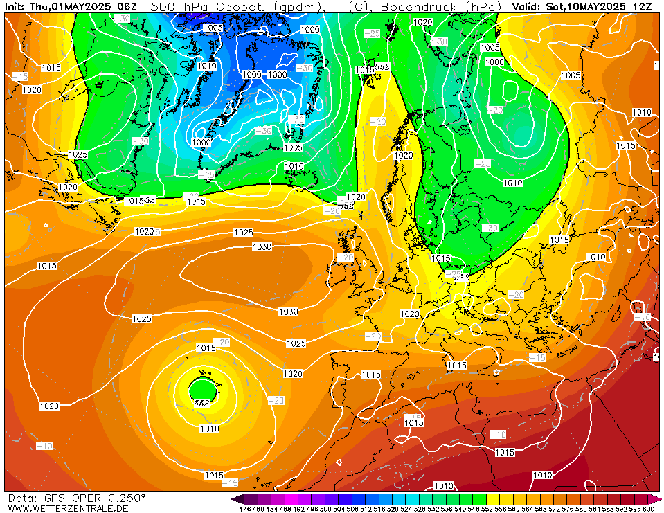
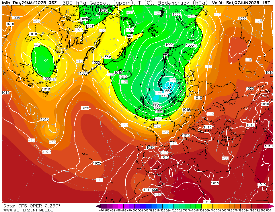
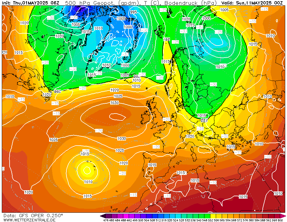
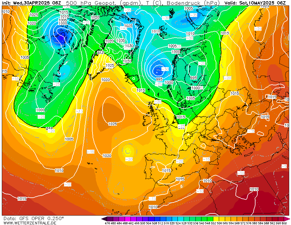
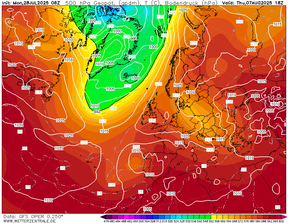
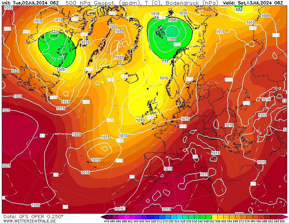
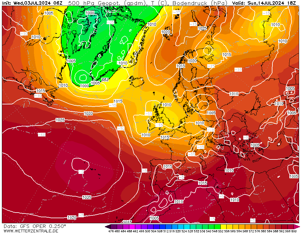
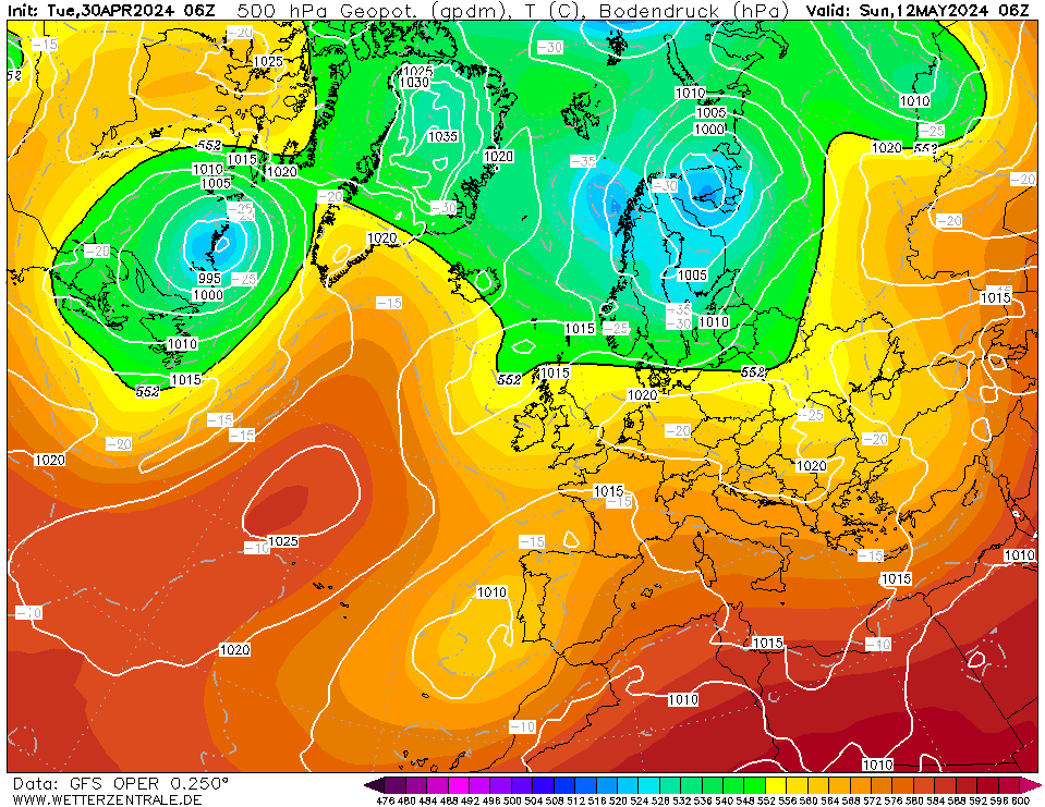
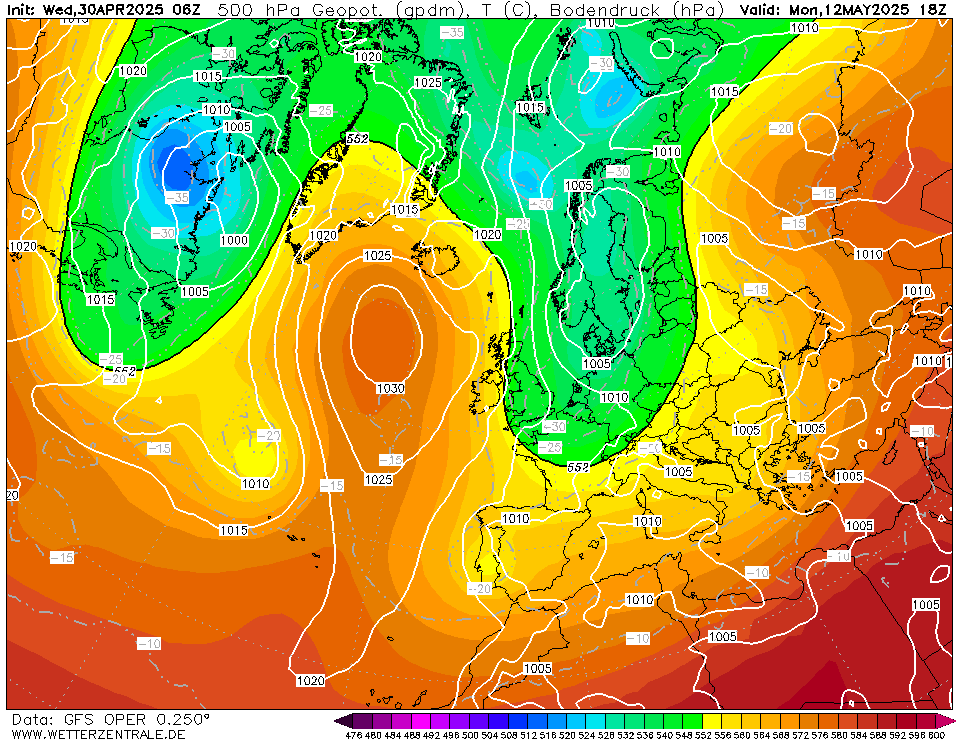
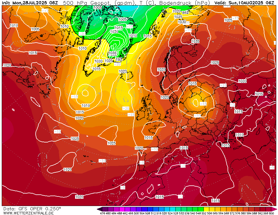
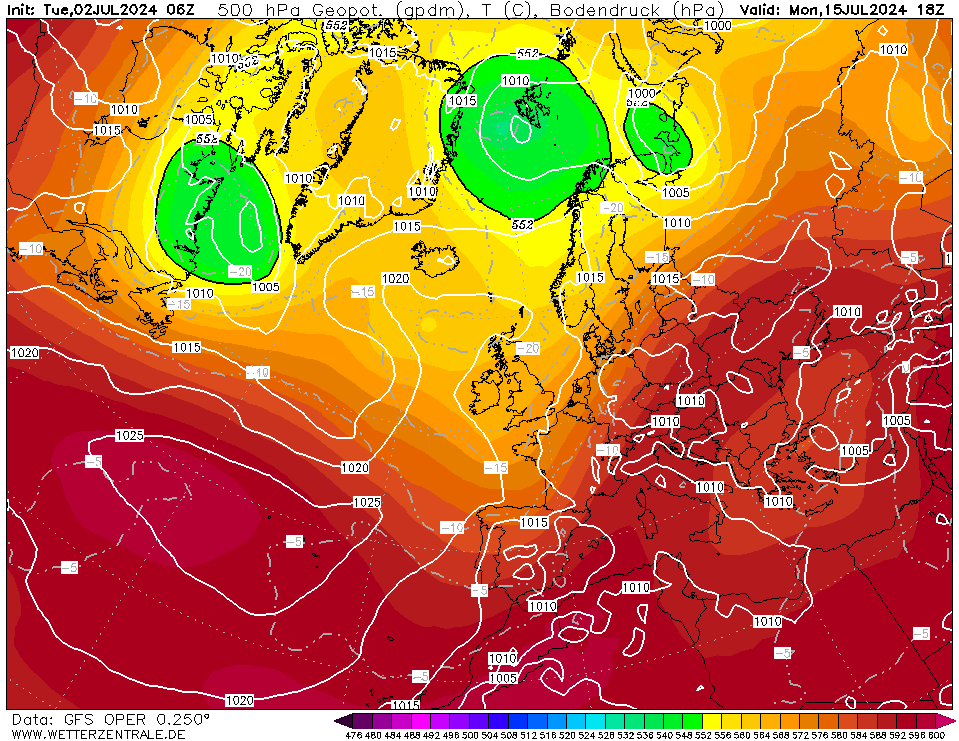
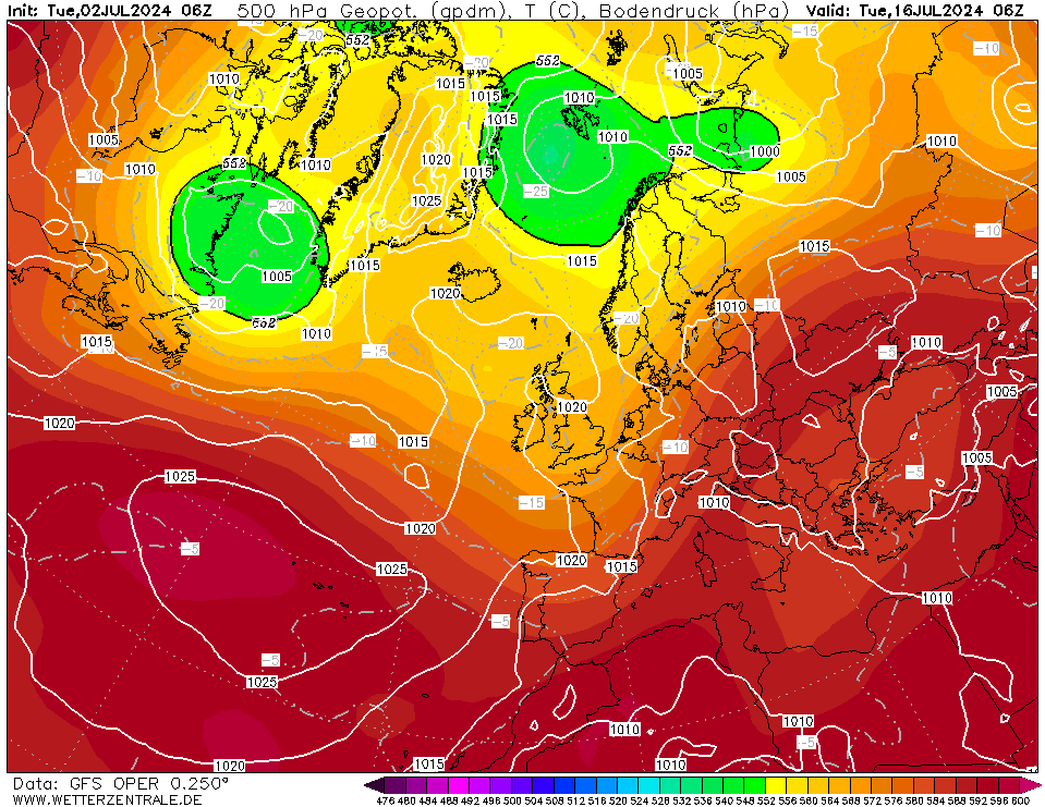
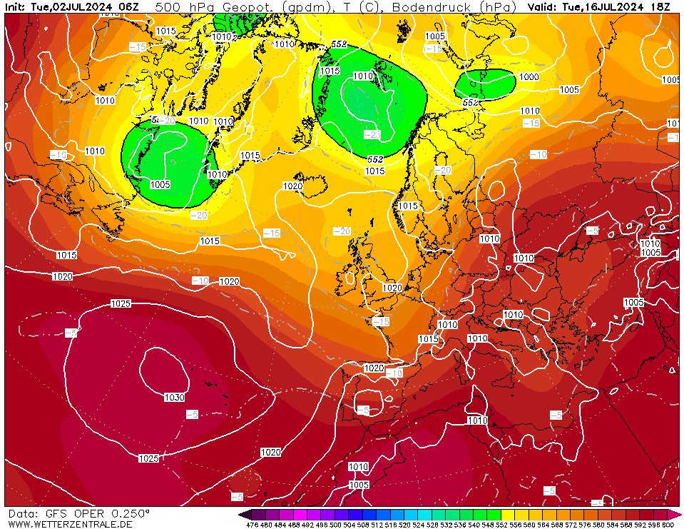
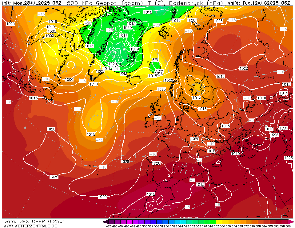
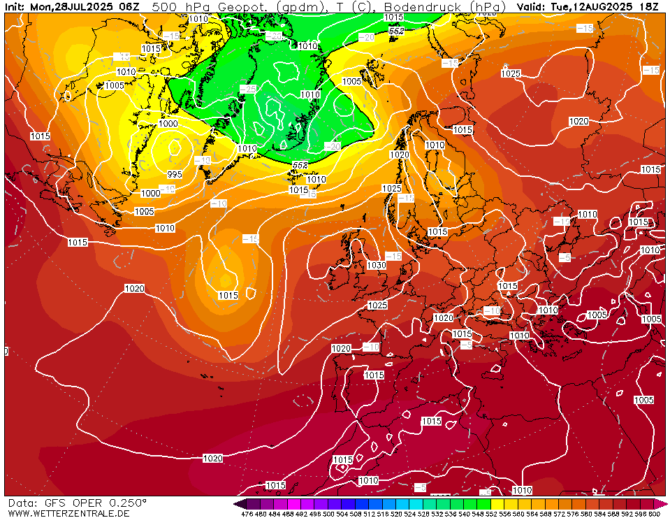
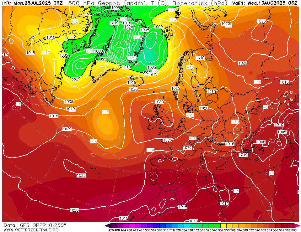
| Legend White lines + values = mean sea level pressure isobars each
5 hPa (hectopascal). Useful for: trough & ridge pattern propagation (long waves) and short waves, steering pattern of frontal systems, detect cold and warm air masses, and estimate stability of atmosphere (stable with warm upper air, unstable with cold upper air).
|